By Joseph Morales
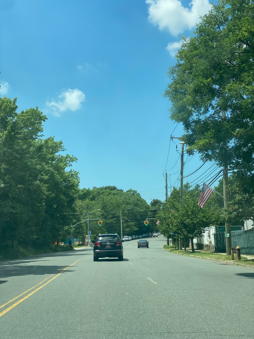
Hylan Blvd is one of the busiest streets in Staten Island and the longest street in all of New York City. For Tottenville residents, it is one of the main ways to access the rest of the borough and travel in the northeast direction. Unfortunately, it is also one of the most if not the most dangerous street for pedestrians in the entire city. According to the NYCDOT’s presentation to Staten Island Community Board 3 on the Hylan Blvd Street Improvement Project (also known as the road diet) Hylan Blvd between Satterlee St and Page Ave in the Tottenville section had an alarming KSI(Killed or Seriously Injured) rate of 7.5 people per mile, 9 times that of the rest of Staten Island and 2.5 times the rate for the entire city. This section of the corridor includes stops for the S59, S78, SIM2, SIM25 and SIM26 buses, making pedestrian conditions important for riders to feel safe getting to and from the bus. Safety is a key component in encouraging bus ridership in an area in which most residents have multiple transportation options.
In addition, this section of the corridor is located near several parks, the Tottenville Pool, an elementary/middle school as well as the South Shore Babe Ruth League fields, making pedestrian safety very important in order to protect the area’s youth. The city has lowered the speed limit from 40 to 30 last summer to attempt to address the issue. However the NYCDOT is taking further action as they have recently announced plans for what is known as a “road diet”. The plan for the road diet is to reduce the number of driving lanes from two to one in each direction and add dedicated left turn bays in each direction in order to calm traffic. This might be a practical solution given Hylan Blvd’s width as wide streets encourage speeding.
Read More »