The MTA Has Launched New App For Transit Directions. Here’s What’s New

By Joseph Morales

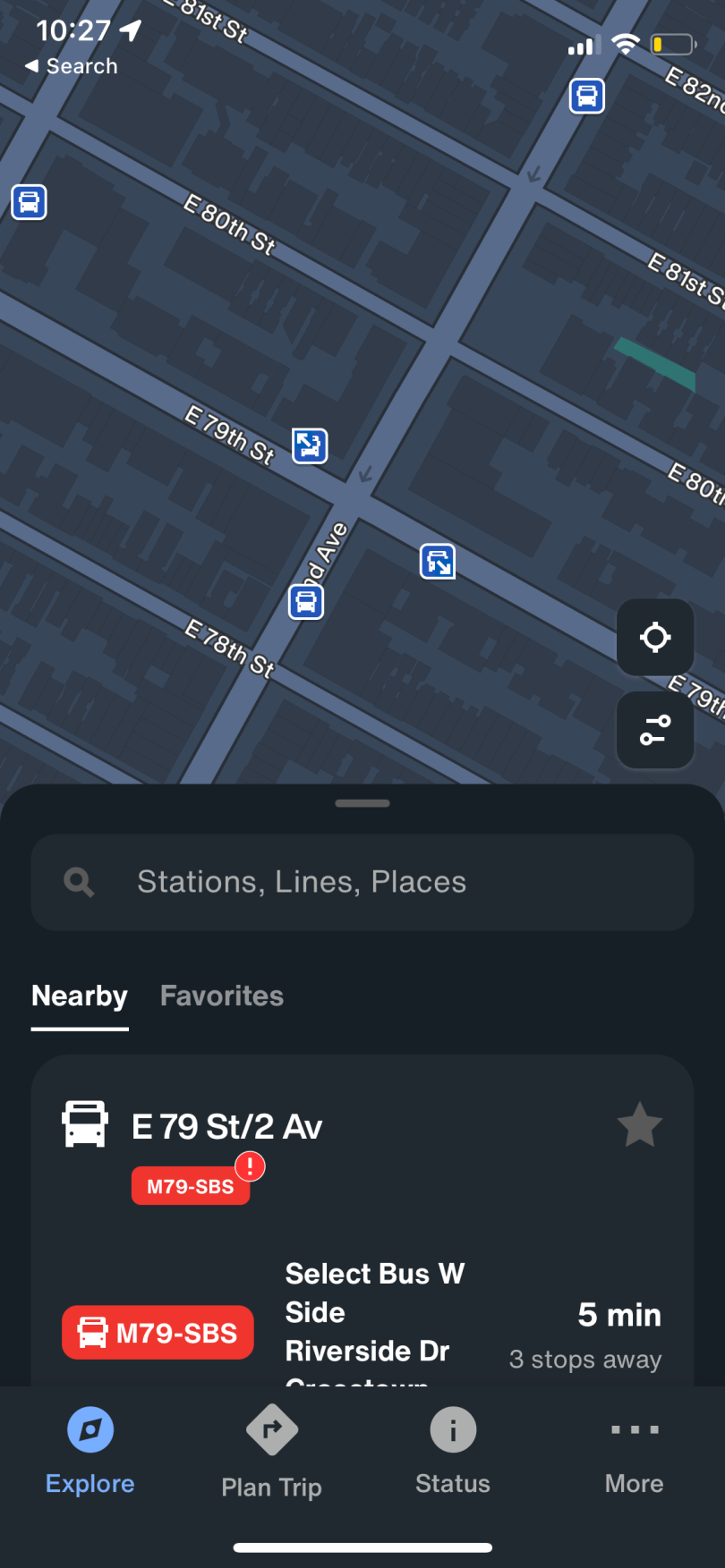
The New York City Transit system is by far the largest transit system in the United States and one of the largest systems in the world. Overall, the MTA’s 331 bus routes and 22 subway routes serve millions of passengers daily. This system allows New Yorkers to get to many destinations seamlessly without the use of a car.

Read More »

How Can Traffic Near The Whitestone Bridge Be Improved?

By Joseph Morales

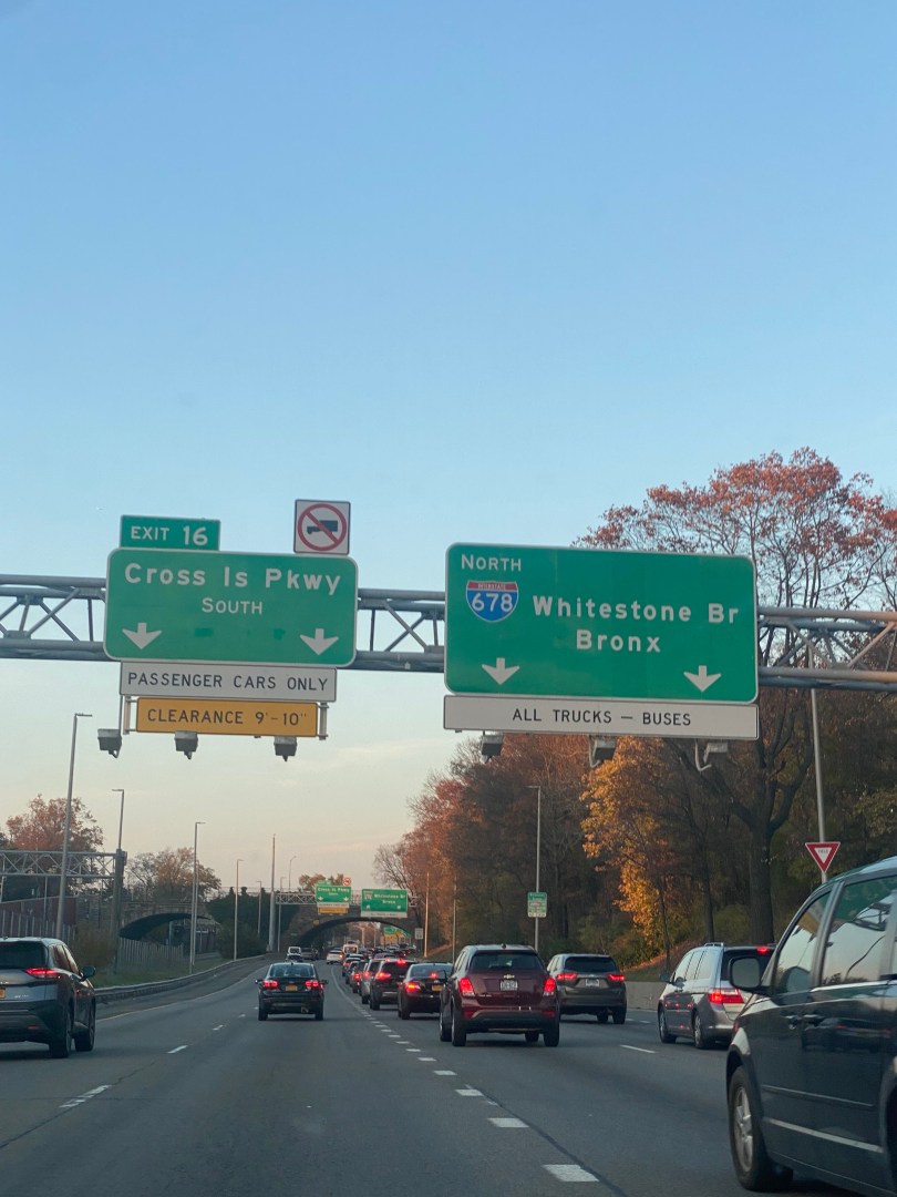
The highway interchange between the Whitestone Expwy(I-678) and the Cross Island Pkwy near the Whitestone Bridge is one of Queens’s most critical highway interchanges. The two highways provide critical connections between areas of Queens and Nassau County, along with the Whitestone Bridge to The Bronx. In addition, the Q44-SBS and Q50-LTD buses pass through the interchange and cross the bridge, carrying tens of thousands of riders between Queens and The Bronx daily. Additionally, in the community district nearest the interchange, 65% of households have a vehicle, and there are numerous stops for the Q44-SBS and Q50-LTD bus routes. Hence, the interchange is not only an essential regional connector, but it is also heavily relied on by those who live nearby.

Read More »

Planning a Kids’ Birthday Party in NYC? Transit Tips To Ensure High Turnout

By Joseph Morales

    Most parents would agree that parenting a young child is no easy task. However, there are some unique parenting tasks that are especially unique for NYC parents. These include but are not limited to long commutes, the city’s nonstop nature, and the complicated admissions system for public schools.

Read More »

Will Belt Pkwy Widening Reduce Traffic Near Verrazano Bridge?

By Joseph Morales

     The Belt Parkway is one of the most utilized highways in New York City. Spanning roughly 25 miles, the Parkway runs from the Bay Ridge section of Brooklyn, to the Queens/Nassau County border. With this length, the parkway provides many regional connections such as to Ocean Pkwy, I-678(Van Wyck Expwy), the Southern State Pkwy and of course to I-278(Gowanus Expwy/Verrazano Bridge). The parkway also provides direct access to JFK Airport, New York’s main international airport and Coney Island, a regional recreation hub. In addition to connecting the region, the parkway provides access to many densely populated communities throughout Brooklyn, Queens and Staten Island. While much of New York relies on mass transit, most communities along the Belt have car ownership rates above 50%. Hence, more residents of surrounding communities rely on the Belt Parkway to get around versus residents around other highways in the city such as the FDR Drive and Bruckner Expressway.

                     As a result, it is no wonder that the Belt Pkwy is among the most congested highways in New York City. While there are many factors to the congestion in different areas, the eastbound side of the highway just off the Verrazano Bridge is definitely one of them. This is in part because the number of lanes on the Belt suddenly drop from three to four with the bridge merging onto the parkway, leading to bottlenecks. This creates a chain reaction that impacts drivers across the Belt regardless of where they are going. In addition, it costs motorists significantly in fuel. According to The Zebra, driving two miles on the Belt Pkwy East near the Verrazano during the Monday AM Peak with the fuel efficiency of a typical new car costs $0.26 each time or $6.50 over 25 days. Given how the calculator doesn’t take congestion into account and many drive less fuel efficient vehicles, the cost per driver in the AM peak is likely higher. 

                    To help reduce congestion and increase vehicular safety, the MTA is adding a fourth lane to the Belt Pkwy between merge between the bridge and the parkway and Exit 5-Bay Pkwy. While the NYSDOT(New York State Department of Transportation) controls most highways, the MTA is likely performing this project due to its connection to the Verrazano Bridge, which is MTA owned. The agency says that the project will “improve traffic flow and reduce back-ups and collisions” in the project description on its Capital Plan Dashboard. As construction has been going for quite some time, the project is 15% complete and is expected to be completed by the end of this year. Additionally, the project is expected to be nearly 50% under budget with a cost of $40.4 million versus the originally budgeted $82 million. 

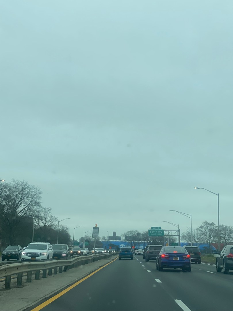
Belt Pkwy near Bay Pkwy in which the MTA is widening. Picture taken 12/11/2022.
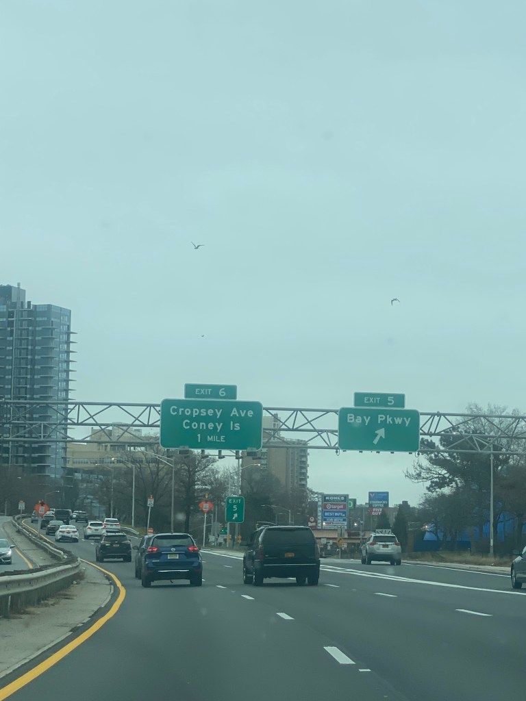
Belt Pkwy near Exit 5-Bay Pkwy. Picture taken 12/11/2022.

                     Despite the MTA’s claims, not everyone is convinced the lanes will help improve travel conditions. Transit advocates feel that this will ultimately lead to increased congestion due to induced demand. Induced demand is when traffic increases because more people choose to drive once a roadway is widened. These advocates also believe that the project will further harm the environment and that the MTA should focus on other mass transit investments to combat climate change. Liam Blank of the Tri-State Transportation Campaign told amNewYork Metro, “If we’re going to be serious about addressing climate change, then we should put our money where our mouth is and encourage fewer people to drive.” Even some motorists were skeptical that the project won’t reduce congestion much in the long term. When asked if the extra lane will help before construction started, one motorist told CBS 2 New York’s Ali Bauman simply “It won’t help.”

                       So will the new lane improve congestion or should the MTA try other things? It is important to note that the lane is not being added to solely improve capacity, but also safety. Typically, the word “induced demand” is used to describe increases in congestion due to highway widening projects that were completed solely to improve congestion on an overcrowded highway. Examples of this include the Katy Freeway widening outside of Houston, TX and Interstate 405 in Los Angeles, CA. However, this project on the Belt is to eliminate traffic caused not by capacity constraints, but by the merge. If the bottleneck is eliminated, safety will improve as there will no longer be a conflict for road space regardless of what ultimately happens with congestion levels. As for congestion however, traffic flow will undoubtedly improve as vehicles would no longer have to slow down or even queue to proceed through. Even if initial congestion improvements are not sustained, the lane will definitely make driving in this portion of the Belt Pkwy easier and possibly faster for the long term due to a simpler traffic pattern.

                   Given the history of induced demand, is worth wondering if more people will use the Belt Pkwy because of the added lane and lead to more congestion overall. While induced demand is a thing, it is not a hard and fast rule every time a highway is widened. As for the Belt, the project near the Verazzano will likely have no significant impact on the Belt Pkwy’s congestion as a whole for all 25 miles. Hence, the extra lane probably won’t encourage many people to drive who would not have driven otherwise. The primary way congestion would increase there would be more vehicles and hence traffic congestion following the lane’s construction is due to population and/or car ownership growth. In this case, the lane would help so that more vehicles can be accommodated safely regardless of congestion levels. 

                    Outside of the lane, there may be other solutions that can help work to reduce congestion on the Belt. While a CBS New York report from 2021 regarding the Belt discussed congestion pricing, congestion pricing likely won’t impact the Belt Pkwy much. This is due to the Belt going from east to west and not connecting to any Manhattan-bound highways except at its western end. To allveiate congestion, the MTA may want to consider expanding transit options between Staten Island and parts of Brooklyn along the Belt Pkwy. Currently, in order to get from the Rosebank section of Staten Island near the Verrazano Bridge to Gravesend in Brooklyn, it could take well over an hour and includes two buses. One of these buses, the B1, had a Customer Journey Time Performance rate of 71.3% with an average speed of 6.9 mph in December 2023 according to MTA metrics, making the bus substantially less reliable than driving. Getting to other parts of Southern Brooklyn require even more arduous commutes and getting to Queens could feel almost impossible. Queens-bound trips from Rosebank would requiring an express bus trip into Manhattan, followed by the subway and even an additional bus depending on the destination. Hence, better  transit options could included expanded and more reliable bus networks and possibly ferry service between waterfront areas. Thanks to the NYC Ferry, many areas of the city are connected by mass transit that weren’t before the ferry such as Soundview, Bx/Lower East Side, Manh and St. George, SI/Midtown, Manh.

                  Outside of expanding transit options, the MTA could consider higher Verazzano Bridge tolls during rush hours or higher tolls altogether to discourage nonessential travel. This would be similar to how congestion pricing is beinging implemented in the Manhattan Central Business District where there will be lower tolls at night. However, this idea would almost surely be struck down by Staten Islanders whom the bridge is their only road connection to the other boroughs of New York City. Additionally, with the burden congestion pricing in Manhattan will already have on motroists, the MTA likely does not want to add or increase more tolls in an unpopular way. As it stands, a Staten Island resident driving to Manhattan will have to pay $24.69 to drive one-way into Manhattan between the Verazzano Bridge, Brooklyn Battery Tunnel and Congestion Pricing tolls. Thus, any additional costs would likely not be taken kindly to by motorists.

                     As the MTA moves forward with the project, it will be interesting to see how the parkway widening will effect Brooklyn-Staten Island commuters. According to the MTA Capital Plan Dashboard, the project is 15% complete and is expected to be done by the end of the year. Also, the project is expected to be nearly 50% under budget with a cost of $40.4 million versus the originally budgeted $82 million. Compared to the rest of the U.S, this project sparked a conversation about the impacts of highway widening that is not had often in New York. Hopefully, the MTA finds solutions that reduce congestion, increase safety and enable reliable regional travel for years to come.

Works Cited

Adcroft, Patrick. “MTA board approves congestion pricing plan.” NY1, 6 December 2023, https://ny1.com/nyc/all-boroughs/news/2023/12/06/congestion-pricing-new-york-city-next-phase-mta-board-vote. Accessed 3 February 2024.

Ahmed F-Operations Manager at LAPS. “What is the average miles per gallon (MPG) for new cars compared to older ones? Can you give an example of a modern car that gets good MPG but isn’t popular?” Quora, 6 February 2023, https://www.quora.com/What-is-the-average-miles-per-gallon-MPG-for-new-cars-compared-to-older-ones-Can-you-give-an-example-of-a-modern-car-that-gets-good-MPG-but-isnt-popular. Accessed 3 February 2024.

CBS New York. “MTA Plans To Widen Parts Of Belt Parkway While Mayor De Blasio Pushes For Congestion Pricing.” CBS News, 15 July 2021, https://www.cbsnews.com/newyork/news/mayor-de-blasio-mta-congestion-pricing/. Accessed 3 February 2024.

Cortright, Joe. “Reducing congestion: Katy didn’t.” City Observatory, 16 December 2015, https://cityobservatory.org/reducing-congestion-katy-didnt/. Accessed 3 February 2024.

Duggan, Kevin. “MTA’s highway-widening plan near Verrazzano Bridge draws heat.” amNewYork, 14 July 2021, https://www.amny.com/transit/mtas-plans-to-widen-belt-parkway-draws-heat/. Accessed 3 February 2024.

Mann, Adam. “What’s Up With That: Building Bigger Roads Actually Makes Traffic Worse.” WIRED, 17 June 2014, https://www.wired.com/2014/06/wuwt-traffic-induced-demand/. Accessed 3 February 2024.

Metropolitan Transportation Authority. MTA, 2024, https://metrics.mta.info/?bus/speeds. Accessed 3 February 2024.

Metropolitan Transportation Authority. MTA, 2024, https://metrics.mta.info/?bus/customerjourneytimeperformance. Accessed 3 February 2024.

Metropolitan Transportation Authority. “Car Toll Rates.” MTA, 6 August 2023, https://new.mta.info/fares-and-tolls/bridges-and-tunnels/tolls-by-vehicle/cars. Accessed 3 February 2024.

Metropolitan Transportation Authority. “MTA Capital Program Dashboard-Capital Plan 2020-24.” MTA, Q3 2023, http://web.mta.info/capitaldashboard/CPDPlan.html?PLN=8&AGY=a. Accessed 3 February 2024.

Meyer, Susan. “Fuel Cost Calculator.” The Zebra, 31 August 2023, https://www.thezebra.com/resources/driving/fuel-cost-calculator/. Accessed 3 February 2024.

New York City Department of City Planning-Transportation. Tableau, 24 November 2022, https://public.tableau.com/app/profile/dcptransportation/viz/ACSProfiles/Dashboard1. Accessed 3 February 2024.

New York State Department of Transportation. “About NYSDOT – Responsibilities & Functions.” NYSDOT, https://www.dot.ny.gov/about-nysdot/responsibilities-and-functions. Accessed 3 February 2024.

Federal Highway Administration Discourages Witty Highway Signs Used In NY/NJ

By Joseph Morales

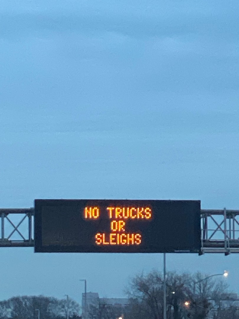
    Roadways in New York City and its suburbs are notorious for its congestion during rush hours. While many New Yorkers ride public transit to work, about 50% drive according to a Bloomberg article from 2019. Despite high transit use in the region, five New York area highways cracked Yahoo Finance writer Zarah Hamid’s top 20 most congested highways in America list. This included several major thoroughfares such as the George Washington Bridge and Long Island Expressway. 

Read More »

Applying to High School in NYC? These Commuting Tips Will Help You Get The Most Out of Your Application

By Joseph Morales

MESSAGE FOR STUDENTS/FAMILIES                 

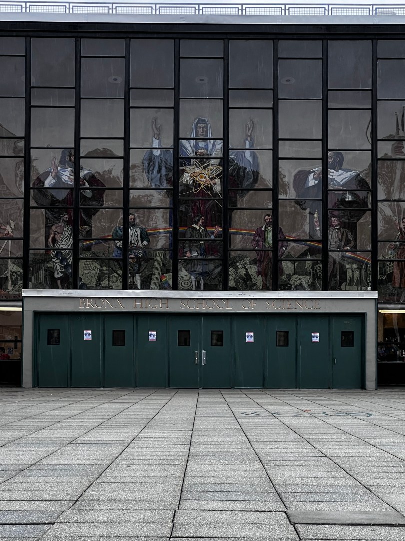
                The high school admissions process can be both an exciting and confusing time for 8th-grade students and families in New York City. While the number of program options and specialties available which may seem compelling, picking twelve that one is very interested in attending can take time and effort. Many students have concerns about receiving offers from specific screened and/or specialized schools, with the latter riding on the results of a single exam known as the SHSAT(Specialized High School Admissions Test). Other students may be scared that while they do not feel as if they have the grades for many of the city’s highly regarded schools, they are desperate to avoid their zoned school and are looking for any other option that suits them. 

Read More »

I-95 Collapse in Philly Set To Disrupt Travel Around The Northeast. How Could New York Prevent Similar Incidents?

By Joseph Morales

Interstate 95 is the main interstate highway running along the east coast of the United States. It is the longest north-south interstate in the country, and it runs through 15 states, about 1,924 miles from Miami, Florida, to the Canadian border in Houlton, Maine. In addition, it is also one of the most densely populated interstate corridors in the U.S as it not only passes through a plethora of major cities such as New York City, Boston, and Miami but only five counties along the route are considered completely rural according to a USA Today article published in 2004, indicating that the highway connects many people is vital to many metropolitan regions throughout the East Coast. 

                   Due to Interstate 95 not only passing through so many major metropolitan areas but also being one of if not the main highways in the regions it passes through, many Americans use the highway for various purposes, from commuting, to errands, to road trips and so much more. In the case of Philadelphia, Interstate 95(Delaware Expwy) serves as one of three major expressways in the Philly region, with the Delaware Expwy being the only one that runs from the northeastern areas of the city and through the city’s core and into its southern suburbs towards the state of Delaware. It is also the only expressway with access to each of Philadlephia’s three major New Jersey Crossings which are the Walt Whitman Bridge(I-76), the Benjamin Franklin Bridge(I-676), and the Betsy Ross Bridge(NJ-90). 

                    Unfortunately, on Sunday, June 11th, 2023, an overpass of the Delaware Expwy in Northeastern Philadelphia at Exit 30 Cottman Avenue collapsed after a tractor-trailer carrying 8,500 gallons of gasoline flipped over and crashed into a wall before proceeding to explode. This ignited a fire that led to the northbound side of the overpass. The southbound side also was heavily damaged and will need to be demolished, according to the Philadelphia Inquirer. The overpass may have been particularly susceptible to such an incident it is made with steel girders, which can face decreased strength when faced with extreme heat. Usually, the concrete roadway prevents a fire from occurring, but on this overpass, the steel was exposed, leading it to melt.

                     Sadly, a body was recovered from the scene, and relatives believe that it is the body of former army veteran 53-year-old Nathaniel Moody, who was delivering gasoline to a Northeast Philly gas station. The Philadelphia County Medical Examiner and Coroner’s Office determined that he died of blunt trauma to the head as well as thermal and inhalation injuries.

                  As a result of the crash, this segment of the highway, which carried over 160,000 vehicles daily, must be completely reconstructed, which is expected to take months. The project has and is expected to have a draconian adverse effect on traffic flow throughout the Philly region, given how important of a travel artery the Delaware Expwy is. In addition, traffic is expected to reach horrendous levels on the local streets of Northeastern Philadelphia as many cars and trucks are forced to exit Interstate 95 and take alternate routes; many of these will cut through busy, densely populated neighborhoods similar to those seen in mixed-use areas of The Bronx, Brooklyn, and Queens. Since 26% of Philadelphians take mass transit to work, according to the CONNECT: Philadelphia’s Strategic Transportation Plan published in October 2018, slower public bus speeds will likely affect transit riders more than vehicles as bus riders have fewer alternate route options.

Also, like in many areas of New York City, areas of Philadelphia nearest Interstate 95, including the areas nearest the collapse, tend to have some of the highest rates of childhood asthma hospitalizations in the city, according to data published by the Philadelphia Department of Public Health in the city’s Community Health Assessment known as “Health of The City” published in 2021. Thus, the impact of a dramatic increase in vehicular and truck traffic around the highway for such a prolonged period of time can result in increased pollution that can have a detrimental impact on the health of residents.

                     The amount of congestion might also be so extreme that goods may cost more for consumers in the northeast as trucks are forced to take longer and more expensive routes due to the reconstruction. According to supply chain management professor Nada Sanders of Northeastern University, the effects could be felt on a national level, given how important of an artery Interstate 95 is and that detours could be as much as over 40 miles for some travelers. In addition, the collapse could have effects on prices outside of the East Coast because many supplies transported along I-95 are used to construct infrastructure, products, and other goods. Thus, manufacturers will likely horde these materials leading them to cost more regardless of where they are purchased. Food items can also be affected as longer routes around the I-95 corridor could lead to more food spoiling, and thus, less food would be readily available, which would, in turn, mean higher prices. 

                      Given the severity and potential impact the collapse is having on the Philadelphia area as well as the northeast region as a whole, one may wonder how such an incident can be prevented in the New York area. As traffic has already reached significantly higher levels in all parts of Philadelphia this week following the collapse, one can only imagine what would happen if something similar happened in New York City, given its population density is substantially higher than that of Philadelphia. 

                      This may lead one to question the risk of a similar collapse on New York City’s expressways, especially the New England Thruway and Cross Bronx Expressway in The Bronx, which are both parts of Interstate 95. As for highway construction, Interstate 95 was constructed separately in both New York and Pennsylvania, and segments of I-95 in both states are managed by their respective state transportation department. While it is unclear if the driver of the gasoline truck did anything illegal prior to crashing, both states have similar HAZMAT CDL endorsement requirements in order to transport hazardous materials such as gasoline. In addition, both the cities of New York and Philadelphia have permit requirements necessary to transporting hazardous materials through their respective cities. 

                   NYC even has more specific requirements, such as specific hours and routes one must take while transporting hazmat materials. In some cases, the FDNY commissioner can, at his or her discretion, order that a vehicle carrying hazardous material be escorted for safety reasons. It is unclear if Philadelphia has similar requirements beyond a state license and municipal permit.

                     The one issue of concern for New York City may be that exposed steel, which played a major role in the Philly collapse, is prevalent throughout NYC’s expressways, including at key intersections such as the Bruckner Interchange and the BQE/LIE(I-278/1-495) interchange in Queens according to Google Maps Street View imaging taken between February 2022 and April 2023. In Philadelphia, as the overpass was at a standard exit location onto a local street at 6AM on a Sunday, police officers and emergency personnel were able to promptly able to close off the area, and thus, no one was injured or killed except the driver of the truck that died in the explosion. A responding police officer could even be heard as he was approaching the scene on a dispatch radio recording obtained by ABC6 Action News Philadelphia saying, “We need this off-ramp shutdown. I have no idea what is on fire.”

                       If something of this magnitude were to occur in any busy NYC location, such as the ones mentioned, the situation would likely be far more severe, and the aftermath would look like one from a horror movie, given the size and height of the NYC expressway overpass and the activity density surrounding them. In addition, given the amount of congestion on NYC expressways often at many times of day, first responders would likely have less time to get to a fire situation, and thus the number of casualties would likely be much higher. Traffic in many areas could also become enter a state of near paralysis should a similar highway closure occur, as NYC has similar or even less expressway coverage than Philadelphia in some areas. This would lead to bus routes becoming even slower, which could have a more draconian effect on NYC bus service as even fewer New Yorkers own cars than Philadelphians, and as it stands, many routes citywide already struggle with slow speeds, reliability, and overcrowding.

Any supply chain issues that would transpire would also be much worse and widespread nationwide due to the number of warehouses and companies citywide that rely on the expressways to transport goods, as well as the amount of food that is transported to and from the rest of the country via hubs through the Hunts Point Food Market in The Bronx. Issues resulting from vehicle noise in areas near any collapsed expressway would also likely be worse than they ever have been before.

                      The main solution the city and state can consider to fireproof highways and expressways is known as intumescent paint. Intumescent paint is a form of reactive paint that, according to the UK fire protection company FireSealsDirect, “…swells up or intumesces to many times its original thickness when exposed to high temperatures, like in the event of a fire.” Dr. Abi Abgyahere, a longtime structural engineer and civil engineering expert from Drexel University, told ABC6 Action News that while the material is expensive, he recommended it be used on bridges and overpasses to prevent incidents such as the I-95 collapse.

                        However, while it is unclear how much such a project would cost for any given bridge or overpass, some engineers have pointed out fireproofing measures in general as being prohibitively expensive to prevent such a rare occurrence. While engineers are generally taught to plan for the worst-case scenarios when designing structures, it is often not seen as cost-effective to spend a significant amount of resources attempting to prevent, say, tsunamis on the East Coast from significantly damaging structures. 

                        In reference to the risk of highways collapsing due to fires, NYC consulting bridge engineer Andrew W. Hermann told The New York Times in 2007 that “The probability of these things happening are pretty low. “The cost to protect every overpass would be outrageous.”  

In Oakland, California, in 2007, a similar situation to the one that happened in Pilly occurred when a burning gasoline truck crashed and exploded. With regard to the incident, Loring A Wyllie Jr.,  a San Francisco area engineer, also told The New York Times, “We worry about the seismic things in California.” “I never thought about a fire doing that.” These types of perspectives also remained the norm after two similar incidents in our area involving structural damage to highways. This included when I-95 in Bridgeport, CT, buckled after a truck with heating oil was burning and when traffic lanes buckled following a trash fire that twisted the steel supporting them on Interstate 78 in Newark, NJ, in August 1989.

                        As the I-95 collapse in Philadelphia cost a man his life and is causing unprecedented levels of congestion throughout the Philadelphia region, many may be more concerned about how to prevent similar incidents in their communities. Given the magnitude of the incident, cities across America, including New York, may be more inclined to invest not just in protecting highway infrastructure from fires but from any sort of damage or incident that could hamper their ability to safely transport millions of New Yorkers throughout the New York Tri-State area.

Works Cited

Stark, Edward. “FHWA Route Log and Finder List Table 3: Interstate Routes.” fhwa.gov, 27 January 2022, https://www.fhwa.dot.gov/planning/national_highway_system/interstate_highway_system/routefinder/table03.cfm#content. Accessed 15 June 2023.

El Nasser, Haya. “Small-town USA goes ‘micropolitan.’” USA Today 30, 27 June 2004, http://usatoday30.usatoday.com/money/economy/2004-06-27-rural_x.htm. Accessed 15 June 2023.

Alvarez, Alejandro A. “I-95 South bridge to be demolished; Philly collapse site declared a disaster; PennDot reopens more of I-95.” Philadelphia Inquirer, 12 June 2023, https://www.inquirer.com/news/live/i95-collapse-philadelphia-bridge-fire-map-news-update-20230612.html#card-234475131. Accessed 15 June 2023.

Mitman, Hayden, et al. “Family identifies truck driver found dead in rubble of I-95 collapse.” NBC10 Philadelphia, 13 June 2023, https://www.nbcphiladelphia.com/news/local/family-identifies-truck-driver-found-dead-in-rubble-of-i-95-collapse/3584144/. Accessed 15 June 2023.

Fox 29 Philadelphia. “I-95 collapse: Medical examiner confirms identity, cause of death of tanker truck driver.” Fox 29, 14 June 2023, https://www.fox29.com/news/i-95-collapse-medical-examiner-confirms-identity-cause-of-death-of-tanker-truck-driver. Accessed 15 June 2023.

Salahieh, Nouran, et al. “Body pulled from wreckage of collapsed section of I-95 in Philadelphia identified as truck driver, official says.” CBS 58, 13 June 2023, https://www.cbs58.com/news/officials-work-to-identify-remains-recovered-from-the-wreckage-of-the-i-95-collapse-in-philadelphia-as-demolition-work-begins. Accessed 15 June 2023.

2021 Health of The City: Philadelphia’s Community Health Assessment, and Department of Public Health-City of Philadelphia. “2021 Health of the City.” Phila.gov, 18 July 2022, https://www.phila.gov/media/20220718132807/HealthOfTheCity-2021.pdf. Accessed 15 June 2023.

Mello, Cody, et al. “I-95 Bridge Collapse Presents Supply-Chain Crisis.” Northeastern Global News, 14 June 2023, https://news.northeastern.edu/2023/06/14/i-95-bridge-collapse/. Accessed 15 June 2023.

“New York DMV | Get a hazardous materials (HazMat) endorsement.” New York DMV, 7 February 2022, https://dmv.ny.gov/commercial-drivers/get-hazardous-materials-hazmat-endorsement. Accessed 15 June 2023.

Pennsylvania Department of Motor Vehicles. “HAZMAT Endorsement – Commercial Driver.” DMV, 2023, https://www.dmv.pa.gov/Driver-Services/Commercial-Driver/Hazmat-Endorsement/Pages/default.aspx. Accessed 15 June 2023.

Fire Department City of New York. “per-transportationhazardousmaterials.” NYC.gov, 2023, https://www.nyc.gov/site/fdny/business/all-certifications/per-transportationhazardousmaterials.page. Accessed 15 June 2023.

Philadelphia Department of Licenses and Inspections. “Get a Hazardous Materials License | Services | City of Philadelphia.” Phila.gov, 4 January 2023, https://www.phila.gov/services/permits-violations-licenses/get-a-license/business-licenses/other-businesses/get-a-hazardous-materials-license/. Accessed 15 June 2023.

Fire Department City of New York. “State: New York State Agency: POC: Address: Phone: Web Address: New York City Fire Dept. Sandy Camacho Bureau of Operations 9.” Federal Motor Carrier Safety Administration, 31 May 2018, https://www.fmcsa.dot.gov/sites/fmcsa.dot.gov/files/docs/regulations/hazardous-materials/73951/new-york0518.pdf. Accessed 15 June 2023.

Jackson, Sharifa. “Philadelphia dispatch audio captures moments before I-95 collapse.” 6ABC, 12 June 2023, https://6abc.com/philadelphia-collapse-philly-i95-overpass-bridge-tacony-pa/13370849/. Accessed 15 June 2023.

“Google Maps Street View.” Google Maps, April 2023. Accessed 15 June 2023.

“What Is Intumescent Paint? | FireSealsDirect.” Fire Seals Direct, 2023, https://www.firesealsdirect.co.uk/advice-centre/what-is-intumescent-paint-and-how-can-you-use-it/. Accessed 15 June 2023.

Vitarelli, Alicia. “Drexel University engineer explains possible cause of I-95 collapse in Philadelphia.” 6ABC, 12 June 2023, https://6abc.com/interstate-95-collapse-i-95-what-caused-in-philly-drexel-university/13373682/. Accessed 15 June 2023.

Archibold, Randal C. “Fireproofing of Most Overpasses and Bridges Is Costly and Rare (Published 2007).” The New York Times, 1 May 2007, https://www.nytimes.com/2007/05/01/us/01bridge.html. Accessed 15 June 2023.

News 12 Staff. “I-95 collapse in PA similar to I-95 overpass collapse in Bridgeport in 2004.” News 12 Connecticut, 12 June 2023, https://connecticut.news12.com/i-95-collapse-in-pa-similar-to-i-95-overpass-collapse-in-bridgeport-in-2004. Accessed 15 June 2023.
The NYCDOT is Working To Reimagine The Future of the Brooklyn-Queens Expressway

By Joseph Morales

   The Brooklyn-Queens Expressway(BQE) is one of the most critical vehicular transportation arteries in all of Brooklyn as well as the entire New York City Region. It is the only interstate highway in Brooklyn and it provides direct connections to Staten Island, Queens, The Bronx as well as Interstate 95 that travels towards Connecticut and other areas in the Northeast. The highway also provides connection to Brooklyn-Manhattan crossings, the Prospect Expressway, Belt Parkway and many other major Brooklyn streets and neighborhoods. According to the New York City Department of Transportation(NYCDOT), the highway typically serves more than 130,000 vehicles daily, 13,000 of which are trucks. 

Read More »

The Building Stronger Communities Through Transit Act Is Stagnant in Congress, Here’s what it could mean for New Yorkers and all Americans if passed.

On June 8, 2021, Rep.Hank Johnson(D-GA) proposed  The Building Stronger Communities Through Transit Act. The bill aims to invest money from the federal government into the nation’s public transit agencies for operating budgets.

The bill would provide $20B/year for 4 years toward agencies and agencies would be required to spend that money on projects that  make ‘’substantial improvements to transit service-that directly boosts the frequency of buses, trains, and increases routes.’’ The objective of the bill is to provide more frequent bus and rail service to cities as well as prioritize service to areas with poor service, disadvantaged communities, and areas of extreme poverty.  The bill also creates a new formula grant program to support the operating costs of public transit as well as certain capital costs. In addition to providing money to transit agencies the bill will clearly define funding for areas of ‘’persistent poverty’’ and ‘’underserved communities’’.Rep. Johnson mentioned that the bill could give agencies the means to ‘’substantial improvements to transit service’’. He also said, ‘’“ransit in our communities is as essential as food on our tables, clothes on our backs, and a roof over our heads’’.

That last statement is especially true for all New Yorkers whether they use mass transit or not.

55 percent of New Yorkers do not own vehicles and use public transit as their primary means of getting around. Even for those that do have vehicles, they have co-workers that do. Some are teachers and most of their students use transit to get to class every day. Others own businesses or work in businesses in which customers can only access their business by transit. Even more importantly, if everyone who used transit in NYC had a car, that would more than double traffic in NYC and make getting around close to impossible. It is clear that Hank Johnson recognizes the impact transit has on communities and congress is finally getting set to take action to invest in transit in a nation with a major focus on automobiles. It is also clear that Hank Johnson recognizes the opportunities the impact transit could have on climate change and the need for public transportation to receive equal investments that our nation’s highways receive. House Representatives, Schakowsky (IL-09), Garcia (IL-04), Huffman (CA-02), Pressley (MA-07), Espaillat (NY-13), Carson (IN-07), Grijalva (AZ-03), Blumenauer (OR-03), McEachin (VA-04), Auchincloss (MA-04), Blunt Rochester (DE), Jayapal (WA-07), all of whom are democrats have co-sponsored the bill. Adriano Espaillat, whose district covers most of Manhattan north of 96th street and parts of the Bronx has made numerous pushed for transit in the past including his Transportation Alternatives Enhancement Act, which objective was to improve the current Transportation Alternatives Act to better invest in walking and biking infrastructure and the Streets Safer and Encourage Environmentally Friendly Transportation(SAFE Act) is designed to make streets safe for pedestrians and cyclists. He also advocated for more funding for the MTA in the recently passed senate federal infrastructure bill. I

The Building Stronger Communities Through Transit Act would give the MTA $80 Billion dollars and the agency would be able to use this money to turn the tide on its fast-forward capital plan and build an even more modern, sustainable, and reliable transit network. The agency’s current capital program is set to cost $54.8 billion dollars over the next 4 years, the program is currently set to completely redesign the bus network in each borough, modernize signals, build megaprojects, maintain the agency’s bridges and tunnels and maintain the agency’s aging infrastructure, some of which is over 100 years old. Our most lucrative funding idea for the system, congestion pricing, is only expected to bring in a measly amount of $1B/year for the same purpose compared to the bill which would give the MTA $20 Billion. Since we’ll have about $30 Billion dollars still left over after this bill, it’s possible we could see an even more ambitious capital program, one to increase frequencies of buses and subways as well as add more bus routes to the system, and add infrastructure programs we’ve dreamed of for years. Imagine every bus or subway in NYC coming every 5 minutes, 24/7. People who must take the subway at late night hours will have safer and faster trips home. They will not have to wait on platforms for long periods of time at night or outdoors for buses in the frigid cold of an NYC winter. Express services such as the 2 and 5 trains can make their daytime stops in Manhattan, making a faster commute for those working overnight as express trains can only run if there is another train to run local stops. People who live in locations far from the subway in NYC like Throgs Neck or Riverdale in the Bronx would no longer have to worry about enormously long walks just to get home or to work when a bus isn’t running and would be linked faster to the subways and buses in nearby transit hubs.  Even people who don’t usually deal with the issue of low transit frequency would reap the benefits of accessibility. This money in the bill would be enough to increase accessibility on some subway stations were building an elevator is possible but building an elevator hasn’t been started. New bus routes can be built to bridge gaps in the transit system where there is no transit service such as along The Throgs Neck Bridge and RFK(Triboro Bridge) between the Bronx and Queens. Subways along high-density streets such as Jewel Ave and Northern Blvd in Queens, Third Ave in the Bronx, Utica and Nostrand Ave in Brooklyn, and more.  This would allow these areas to further develop, receive more foot traffic, and help businesses open to build our regional economy. This would also increase access to the Manhattan Central Business District for these neighborhoods and reduce commute times that are otherwise spent on express buses on highways such as the Long Island, Gowanus, and Bruckner Expressways in traffic as well as trying to navigate local streets to and from these highways.

This is of course no current plan of what MTA would plan to do with an extra $30 Billion dollars added to their capital plan and the MTA receiving this money is no guarantee. Unfortunately according to govtrack.us,the bill only has a 3 percent chance of being enacted into law. For this bill to pass, it would have to first pass the House Transportation and Infrastructure committee before being sent to the house floor, and only 10 of 59 members of the committee have co-sponsored it as of September 2021. The number of co-sponsorships a bill has is a key indicator of whether or not it will be passed.  The investment would be a huge boost to the MTA and its capital plan, however as of now it sits in the House Transportation and Infrastructure Committee.

Works Cited
“Congressman Johnson Proposes Transformational Public Transit Bill.” Congressman Hank Johnson, 8 June 2021, https://hankjohnson.house.gov/media-center/press-releases/congressman-johnson-proposes-transformational-public-transit-bill. Accessed 19 September 2021.
NYC Economic Development Corporation. New Yorkers and Their Cars | NYCEDC, 5 April 2018, https://edc.nyc/article/new-yorkers-and-their-cars. Accessed 19 September 2021.
“Congressman Johnson Proposes Transformational Public Transit Bill.” Congressman Hank Johnson, 8 June 2021, https://hankjohnson.house.gov/media-center/press-releases/congressman-johnson-proposes-transformational-public-transit-bill. Accessed 19 September 2021.
“Stronger Communities through Better Transit Act (H.R. 3744).” GovTrack.us, 8 June 2021, https://www.govtrack.us/congress/bills/117/hr3744. Accessed 19 September 2021.
“2020-2024 MTA Capital Program.” MTA, https://new.mta.info/capital/2020CapitalProgram. Accessed 5 September 2022.