Extension Coming to Bronx SBS Route Following MetroCard Retirement

By Joseph Morales

The Bx6-SBS/LCL is one of the most critical bus routes in The Bronx. This route traverses 163rd/161st Sts in The Bronx before connecting to 155th St in Harlem via the Macombs Dam Br. Commercial areas served by the route include Concourse Village and the area surrounding the Hunts Point Av(6) station. In addition, the Bx6-SBS serves major destinations such as Yankee Stadium, the Hunts Point Terminal Market and Bronx County Courthouses. This route also provides connections to nine subway routes, two Metro-North lines and a plethora of bus routes. Overall, the route served over 6,300 riders on an average day in 2024.

Read More »

Could There Be More Bronx Express Bus Changes?

By Joseph Morales

     Express buses are critical transportation assets for residents of the outer boroughs. In areas far from Manhattan, subway service, or both, express buses are often the only direct mass transit link between many communities and Manhattan. As congestion pricing nears, many may turn to express buses to avoid the even higher costs associated with driving in Manhattan. In February 2020, about 42,000 riders took express buses daily, according to the Gothamist.

Read More »

MTA Debuts New Type of Bus Route in Queens Bus Network Redesign

By Joseph Morales

    Queens is New York City’s largest borough by land area and second in population, far surpassing that of Manhattan, The Bronx and Staten Island. Given its size and proximity to both Long Island and Manhattan, neighborhoods in Queens can range from suburban-like in Little Neck to Manhattan-like in Long Island City. Therefore, getting around Queens by public transit can mean traveling by various modes. In some parts of Central and Western Queens, the subway can easily be used in order to get from point A-point B east to west, while other trips require slower bus rides. In Eastern Queens, residents almost always have to rely on buses to get anywhere including to the subway. Many residents who can afford it can take the faster LIRR, however this may be prohibitively expensive for some even with the CityTicket. While buses in Eastern Queens do tend to be faster than other places, the length riders have to travel from here to subway stations still contributes to neighborhoods here having some of the longest commutes in the city.

Read More »

The MTA Is Proposing Major Changes to Church Ave Bus Service As Part of the Brooklyn Bus Network Redesign. What are the Pros and Cons?

By Joseph Morales

Church Ave is a major residential and commercial corridor that runs about 4 miles east-west through Central Brooklyn between the Kensington and Brownsville neighborhoods. In addition to traversing several busy neighborhoods, the corridor traverses several busy streets and roadways such as Ocean Pkwy/Prospect Expwy, Flatbush Ave, Nostrand/Bedford Ave, and Utica Ave, providing connections for motorists to travel to numerous destinations throughout Brooklyn. In addition, the street is home to several key destinations such as Prospect Park, SUNY Downstate Medical Center, and the Erasmus Hall High School Campus, which currently has about 1,994 students according to data on campus schools from MySchools NYC though the building once served over 7,000 students as a larger high school.

Read More »

Queens Bus Network Redesign Plans To Drastically Speed Up Service For Express Bus Riders

By Joseph Morales

Queens is the largest borough in New York City by land area; and is estimated to be the second most populous borough, according to 2021 data from the U.S Census Bureau. Population and employment density in the borough varies substantially, from the hustle and bustle of Long Island City to the cosmopolitan streets of Jackson Heights and Corona to the suburban-style areas of Bayside and everything in between. 

Read More »

With The Brooklyn Bus Network Redesign Draft Plan, Express Bus Riders Will Probably Have Mixed Emotions About Proposed Changes

By Joseph Morales

The MTA is redesigning the Brooklyn Bus Network with the intention of creating a new bus network with simpler, more direct routes as well as to adjust frequencies on bus routes in order to match current demand. The MTA is also adjusting or even creating new bus routes to match the travel needs of Brooklyn bus riders. 

                While this project may seem like one riders are looking forward too, express bus riders may or may not be so excited. Express buses are typically but not always designed for the purpose of getting people to and from Manhattan from areas of the city that are not served by the subway. Getting to Manhattan without these express buses would likely result in many people having to take bus rides to subway stations, which vary in length depending on where one’s starting point. As areas served by express buses in Brooklyn generally tend to be areas with higher rates of car ownership, many Brooklynites who would otherwise take these buses are likely to drive into Manhattan which can lead to more congested streets in Brooklyn as well as Manhattan. Therefore, express buses are a critical part of a Brooklyn bus network to ensure that all residents have the opportunity to conveniently travel into Manhattan without driving. 

Read More »

New Select Bus Service Could Form New Connection Between Southern Queens and Brooklyn

By Joseph Morales

Linden Boulevard is an interborough street that travels from the Cambria Heights section of Queens through the neighborhoods of St.Albans, South Jamaica and South Ozone Park. It is like many other stretches in the outer boroughs with a combination of businesses and single-family residences. In Queens Community Districts 10 and 12, which comprise much of the corridor, average commute times are 46.9  and 48.4 minutes respectively, which are among the longest commutes in the city. In both districts , about half of the residents have car-free commutes meaning mass transit is a major part of how people get around. Unfortunately for communities that rely on mass transit as much as these Southern Queens neighborhoods, there is no bus or subway route that travels straight along the Linden Blvd corridor. Currently, a trip across the corridor would require a diversion from Linden Blvd onto Merrick Blvd and into Downtown Jamaica, which is one of the busiest transit hubs in the entire city. Afterwards, a rider must transfer to another bus for a trip that can easily take over 2 hours during rush hour. 

Read More »

Underserved Transit Deserts in Westchester County May Soon Be Served By Microtransit

By Joseph Morales

          Westchester County arguably has more diverse travel markets than anywhere in New York State. The majority of Westchester County is full of suburban communities similar to those you’d see throughout America, where most residents own cars. However, Westchester County is also home to a few mid-sized cities and even slightly larger urban areas, particularly in the southern portion of the county. The cities of Yonkers, Mount Vernon, New Rochelle and White Plains contain 40% of the county’s population. Many, though not the majority of residents in these cities and in other areas are low-income and rely on public buses to get around the county as well as to get into The Bronx. Other residents of both the cities and the rest of the county may use public transit solely for connecting to Metro-North trains to get to Manhattan. Overall according to video by the Westchester County Government, 85% of Westchester County residents own cars. While this rate may seem high to city-dwellers, this is still less than the U.S rate of 91.5% of Americans owning cars according to the U.S Census. 

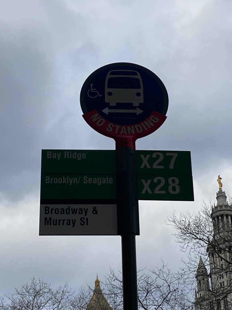
              Unfortunately, due to this level of diversity when it comes to travel demand, Westchester County has struggled to find ways to serve those who use mass transit, particularly in mid-sized areas. This is in part because mass transit is very expensive to operate and rarely turns a profit. Thus, the Bee-Line system needs a certain number of riders on its buses to justify running frequent service. This puts mid-sized cities such as Port Chester in a difficult position. According to the Urban Action Agenda’s Port Chester Community Profile in 2018, 14% of the population of about 29,000 took public transit to work. While this is a significant portion of the city’s population, this only equates to about 4,060 transit riders not including those who primarily use Metro-North rather than Bee-Line buses, making it hard to justify frequent transit service here.

Read More »

The Bronx Bus Network Redesign is Finally In Effect!

By Joseph Morales


               After an almost two year delay caused by the COVID-19 pandemic and the budget woes that came along with it, the MTA has finally implemented the final plan for the Bronx Bus Network Redesign. Bronxites have waited patiently for this day in order to have a faster and more reliable system for many years. Many Bronxites who rely on buses live in areas that lack subway service or make crosstown trips for which there is no subway service except for at almost the very southernmost point of the borough.  Since about 60% of Bronxites do not own cars,(not including middle/high school students between the ages 12-18), buses are a critical part of mobility in the borough. Bronx Borough President Vanessa Gibson said this in a recent video on the redesign published on the mtainfo youtube channel, “People want to get to their destination safely, they want it to be efficient services, reliable and affordable. If you check all of those boxes, you will have happy commuters in our borough.”


Read More »

New Crosstown Bus Route Alignments Will Speed Up Crosstown Buses In The Bronx

By Joseph Morales

(Link to information on bus routes discussed in article located at the bottom after Works Cited section)

The MTA’s Bronx Bus Network Redesign is a plan to redesign the Bronx’s bus system to meet the needs of its riders and become a faster and more reliable system. Even though The Bronx has developed and evolved in many ways, the bus network has not been reevaluated in many years. With many bus routes still running the routes of old trolley lines, a redesign of the bus system is crucial to push bus operations in The Bronx into the 21st century. One of the biggest changes to the system in the redesign, are the restructuring of the Bx11, Bx35 and Bx36, routes which travel east-west across The Bronx from points in West Farms and Soundview across different corridors to W 181st St in the Washington Heights section of Manhattan. In addition, the Bx40 and Bx42 routes that run between the Throggs Neck section of the Bronx and the Highbridge area of the borough are also being restructured. The purpose of this route restructuring is to reduce the number of turns and avoid slow speed corridors and improve bus stop spacing. This might make bus trips across the corridors faster and more direct and make it easier for Bronxites to get across the borough to high density areas without subway service, as well as to transfer to other subway and bus routes which is a common purpose of crosstown bus routes.


Read More »