Everyone Has Heard About Subway Deserts Before. What About Crosstown Bus Deserts?

By Joseph Morales

*Though some corridors that lack regularly scheduled frequent and reliable bus service are discussed, there may be some that I might have missed. If you think I missed a particularly slow and infrequent bus route, let me know in the comments!

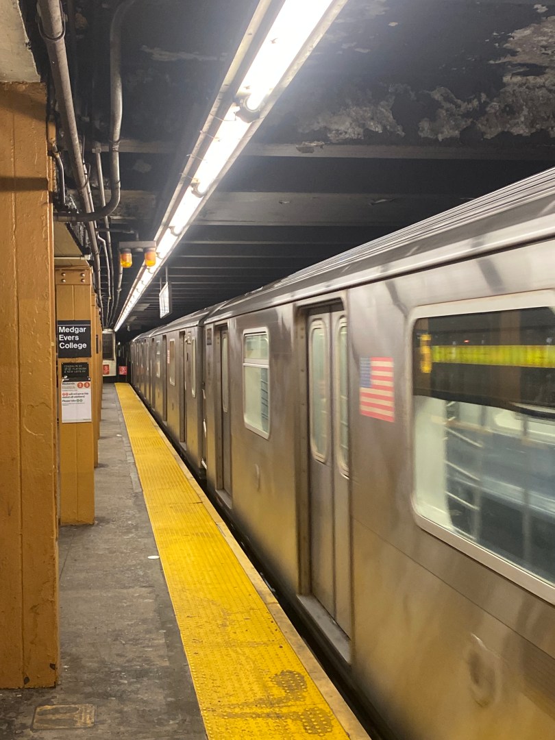
New York City is undoubtedly the most transit dependent city in the United States, as only 46% of residents own a car according to data from the NYC Department of City Planning. New Yorkers opt to ride public transit for various reasons, from the parking and traffic challenges of driving to the sheer cost of more reliable modes. Unfortunately, most New Yorkers know that mass transit is not the same for everyone, as two million New Yorkers live in so called “transit deserts” with little to no access to subway service. These New Yorkers often face long bus rides to get to subway service and have commutes that are substantially longer than those who live in more subway-rich neighborhoods. 

Read More »

The OMNY Card Is Finally Available At Select Subway Stations, A Major Step In The OMNY Rollout

By Joseph Morales

 The One Metro New York(OMNY) system is slowly but surely becoming the dominant way New Yorkers pay to ride buses and subways throughout the city. With the rollout of OMNY beginning on select bus routes and at certain subway stations in 2019, riders have been able to tap their smart device or card on an OMNY reader to board the bus or subway, rather than use a prepaid MetroCard. The goal for the MTA has been to develop a contactless fare option that is more flexible and convenient for its riders. In addition to the added convenience for riders, OMNY has provided the MTA with the ability to implement fare policies they were not previously able to such as fare capping. With fare capping, riders who spend $34 or take 12 rides in a single week can ride free for the remainder of that week. Before fare capping, the same riders either had to pay for an Unlimited or Pay-Per-Ride MetroCard which often would have left them in situations where they paid for rides they did not take or wound up paying more for their rides because they did not purchase the Unlimited MetroCard. The MTA had planned to retire the MetroCard in favor of OMNY by the end of this year, however that has been delayed to 2024 due to software issues.

Read More »

The MTA Is Considering Plan That Would Substantially Improve Brooklyn Subway Service

By Joseph Morales

The Eastern Parkway Line(2,3,4,5) is one of the most important subway lines in Brooklyn, running from Borough Hall(2,3,4,5) to Crown Heights-Utica Av(3,4). Subway routes that serve the line connect riders to places along Eastern Pkwy along with Brooklyn and Manhattan. Notable locations that are served directly by the line include Prospect Park, The Brooklyn Museum, The Brooklyn Botanical Garden and Medgar Evers College. The line also provides connections to some of Brooklyn and NYC’s busiest bus routes such as the B46-SBS(Utica Ave) and the B44-SBS(Nostrand Ave), which help many riders from areas that lack subway service to be able to access the line.  The Eastern Pkwy Line has two branches, with the 2 and 5 trains primarily running to Flatbush Av-Brooklyn College on the Nostrand Ave line and the 3 and occasionally the 4 train running to New Lots Av on the Livonia Avenue Line. On the Eastern Pkwy line itself, the 2 and 3 run local and the 4 and 5 run express. Given the congestion and hassle generally associated with driving in both Brooklyn and Manhattan, is absolutely critical for Brooklyn subway riders to be able to traverse the city quickly and reliably.

Read More »

This Suburban NY County Is Looking To Improve Access To Quality Food. What Solutions Will They Attempt?

By Joseph Morales

*To fill out Westchester County’s Transportation and Food Access Survey click here: https://planning.westchestergov.com/2022-04-04-15-25/transportation-and-food-access-study

*The survey is open until November 17th and is for county residents only.

Westchester County is a county with very diverse landscapes as well as substantial socioeconomic diversity amongst its residents. Parts of Westchester range from having an urban character comparable to adjacent parts of The Bronx to having a more rural feel, like the communities generally associated with those in Upstate New York far from New York City. 

                   As a result, people get around using various modes. While 85% of county residents own cars, the percentage of residents who take public transit is substantially higher in the more urban small cities in the southern portion of the county, such as Yonkers, Mount Vernon, and New Rochelle. Other small cities that have higher transit ridership than other areas in Westchester include White Plains, Ossining, and Peekskill. 

Read More »

Could Elmhurst Have an LIRR Station?

By Joseph Morales

 Elmhurst, Queens, is one of New York’s most diverse and arguably one of Queens’ most vibrant communities with a high commercial and residential density. It is home to Elmhurst Hospital, one of Queens’ two public hospitals, and the Queens Center Mall, which likely draws shoppers from throughout the borough as Queens’ only major indoor shopping mall. For the most part, the community is well served by mass transit, with several stations on the M, R, and 7 subway lines that traverse various areas of Queens, Manhattan, and Brooklyn. Additionally, the area is served by many bus lines, including the Q52/Q53-Select Bus Service, which runs from Jackson Heights to the Rockaways and is the longest north-south bus line in Queens. Both the Q52 and Q53 were also among the highest-performing and most reliable bus routes in Queens in both May and October 2019, according to data from the NYC Bus Turnaround Coalition.

Read More »

What Might Happen to the Abandoned Kingsbridge Armory in The Bronx?

By Joseph Morales

The Kingsbridge Armory was built in The Bronx on W Kingsbridge Rd and Jerome Ave next to the Kingsbridge Rd(4) subway station in 1917. The armory is also in close vicinity to Fordham Rd, I-87(Major Deegan Expressway), Mosholu Pkwy, Henry Hudson Pkwy, and other major roadways. The armory’s purpose, along with six other large armories in Manhattan and Brooklyn, was to help train National Guard soldiers and store military equipment, including during World War II. While the National Guard was formerly known for putting down protests, strikes, and riots during the Industrial Revolution, new labor laws, such as the eight-hour workday and minimum wage laws, had largely met the desires of workers. Additionally, these new laws led to the public not viewing worker protests as a threat to capitalism or the American economy as they knew it. Hence, the new armories, like the one in Kingsbridge, were part of an era when the National Guard transformed into an organization that, while still a part of the military, held a strong interest in the common good and stability for the communities it served. 

Read More »

Applying to High School in NYC? These Commuting Tips Will Help You Get The Most Out of Your Application

By Joseph Morales

MESSAGE FOR STUDENTS/FAMILIES                 

                The high school admissions process can be both an exciting and confusing time for 8th-grade students and families in New York City. While the number of program options and specialties available which may seem compelling, picking twelve that one is very interested in attending can take time and effort. Many students have concerns about receiving offers from specific screened and/or specialized schools, with the latter riding on the results of a single exam known as the SHSAT(Specialized High School Admissions Test). Other students may be scared that while they do not feel as if they have the grades for many of the city’s highly regarded schools, they are desperate to avoid their zoned school and are looking for any other option that suits them. 

Read More »

Could We See More Bus-Only Traffic Signals in NYC?

By Joseph Morales

New York City’s public buses are a core part of its public transportation network. While the city is known for its subways, its bus network still serves over a million riders daily among its 327 bus routes. The city’s buses are also particularly helpful in helping people get to areas where the subway just does not go.

                       Whether people are riding the bus to the subway, to work or school, or traveling a long distance across their borough, everyone undoubtedly wants a fast and reliable trip to their destination. In many instances, however, it is hard for the MTA to provide for the simple fact that buses have to share road space with vehicles and, thus, they routinely run in congested traffic. A report from the state comptroller’s office in March 2023 showed that MTA buses in the five boroughs rarely averaged speeds above 9 mph. In comparison, an average man runs 8 mph. On many of the MTA’s slowest routes, speeds do not average much more than 3 mph, which is the average speed of a human walk. This issue is made worse by the fact that buses tend to make a good number of stops, and thus, they must merge back into traffic every time they do, slowing travel times.

Read More »

Should The Outerbridge Crossing Be Replaced? Could It Have Transit In Mind?

By Joseph Morales

The Outerbridge Crossing is a major travel artery between the South Shore of Staten Island and Perth Amboy, New Jersey. The bridge is one of three bridges connecting Staten Island with NJ, with the other two traveling out of the northern section of the Island. The Staten Island side of the bridge is located near major roads such as Arthur Kill Rd, Hylan Blvd, and the West Shore Expwy, which connects motorists to areas across Staten Island and the surrounding region. On the New Jersey side, the bridge provides motorists with direct access to both the Garden State Pkwy and the New Jersey Turnpike(I-95), which provide connections to destinations across the state of New Jersey. The bridge’s location near the southwesternmost corner of NYC and its proximity to the Garden State Pkwy might also make it popular with motorists from across NYC who wish to travel to the Jersey Shore. The bridge typically has served between 1-1.2 million motorists monthly since 2021, with higher numbers in the summer months, likely because of Jersey Shore travel. These numbers, with the exception of the summer upticks, compare closely to the numbers on the Holland Tunnel, which runs between Jersey City, NJ, and Lower Manhattan. 

Read More »

New Guide on Bloomberg Connects App Will Help MTA Riders To Connect With The Art in The Transit System

By Joseph Morales

The NYC Subway System is one of the most vast and most used subway systems in the entire world, with 472 subway stations serving millions of riders daily. The MTA’s commuter rails are also similarly impressive, with 250 rail stations serving hundreds of thousands of riders from New York’s suburbs as well as certain parts of the Bronx, Brooklyn, and Queens.

                  Besides being able to get to many parts of NYC and the NY region without a car, the sheer number of stations allows for the ability for hundreds of unique, elegant, and inspiring artworks to be on display throughout the subway system as well as the Metro-North and LIRR. Large station complexes such as Grand Central Terminal tend to have many pieces of art, as the size of these complexes provides artists with plenty of possible canvases. The transit system’s artwork generally consists of various forms, including mosaics, terra cotta, and more.

Read More »