The MTA Is Working To Improve Critical Infrastructure On The L Train

By Joseph Morales

   The L train is a subway route that runs from the 8 Av station in Manhattan out to Canarsie-Rockaway Pkwy in Canarsie, Brooklyn. The line passes through many densely populated neighborhoods throughout Manhattan and Brooklyn that truly reflect the hustle and bustle as well as the diversity the city is known for, such as the West Village, Williamsburg, and Bushwick. More than 300,000 riders ride the L train daily as of April 2016, according to the Regional Plan Association. While those are well before pre-pandemic levels, it is essential to note that subway ridership did increase to 65% of pre-pandemic levels from 56% in 2022, according to statistics from the NYC Comptroller’s office. This indicates that subway ridership citywide is starting to recover.

Read More »

The MTA is Making Major Accessibility Upgrades to Several Westchester County Metro-North Stations

By Joseph Morales

Scarsdale is a town in Westchester County that is about 30 miles from Midtown Manhattan and serves as a major suburb of New York City.  The hamlet of Hartsdale in the town of Greenburgh and the hamlet of Purdy’s in the town of North Salem are also located about 30 and 50 miles from Midtown Manhattan, respectively.  People in all three areas use the Metro-North Railroad(MNR)’s Harlem Line to not only commute to The Bronx and Manhattan but also to get to other major locations along the line, such as White Plains, Mt. Kisco, and Brewster. In addition, both the Scarsdale and Hartsdale MNR stations have more significant commercial and residential density around their stations than they do in the rest of their towns. This includes Downtown Scarsdale, which is located directly adjacent to the Scarsdale MNR station, so riders from across the region may use the station to access shops, restaurants, and more.

Read More »

The NYCDOT Is Finally Set To Complete Major Bus/Cycling Improvement Project on Major Bronx Street

By Joseph Morales

                   University Ave is one of the busiest north-south streets in the West Bronx. Though the corridor is mainly residential, it connects several east-west arteries, such as Fordham and Kingsbridge Roads and Burnside and Tremont Avenues. The street is also home to Bronx Community College. The bus routes that run along the corridor, the Bx3 and the Bx36, cross the Washington Bridge into Manhattan and serve University Ave, providing riders with many transfer options for traveling throughout the Bronx and Manhattan via other bus and subway lines. Thus, it is no surprise that in the existing conditions report for The Bronx Bus Network Redesign, the travel pattern Burnside to Washington Heights had the 6th most trips between two TAZs (Transit Analysis Zones), and the travel pattern Morris Heights to Washington Heights ranked 20th. Both of those trip patterns are served by the Bx3 and Bx36 buses.

Read More »

The MTA Is Considering Major Transit Upgrades on Utica Ave in Brooklyn. It May Include A Long-Awaited Subway Extension.

By Joseph Morales

Utica Avenue/Malcolm X Blvd is one of the busiest north-south thoroughfares in Brooklyn. The approximately 6-mile stretch passes through numerous densely populated and busy neighborhoods such as Bedford-Stuyvesant(Bed-Stuy), Crown Heights, East Flatbush, and more. It also connects to the Kings Plaza Shopping Center, one of the largest shopping malls in Brooklyn. In addition, the corridor connects to several other critical east-west arteries in the borough, such as Chruch Ave, Linden Blvd, and Kings Hwy, which are at least five miles long. 

Read More »

Major Staten Island Transit Hub Getting Extensive Upgrades

By Joseph Morales

   The Eltingville Transit Center is one of two transit hubs in Staten Island and is the only transit hub serving the southern and western parts of the borough. The hub serves many express bus routes to Manhattan and many local bus routes. The center also serves the S79-SBS to Bay Ridge, Brooklyn, and the S89 to the 34th St Light Rail Station in Bayonne, NJ. The transit center is about a 10-minute bus ride from the Staten Island Mall and Eltingville SIR station.

Read More »

Queens Bus Network Redesign Plans To Drastically Speed Up Service For Express Bus Riders

By Joseph Morales

Queens is the largest borough in New York City by land area; and is estimated to be the second most populous borough, according to 2021 data from the U.S Census Bureau. Population and employment density in the borough varies substantially, from the hustle and bustle of Long Island City to the cosmopolitan streets of Jackson Heights and Corona to the suburban-style areas of Bayside and everything in between. 

Read More »

Several Stations Along the Jamaica Line Are Getting Substantial Improvements

By Joseph Morales

      The Jamaica Line(J, Z trains) is a critical transportation asset in Brooklyn and Queens, connecting parts of Southern Queens and Northern Brooklyn with Lower Manhattan, serving thousands of riders daily.

             Most of the line is elevated except the two stations(Sutphin Blvd-Archer Av-JFK Airport and Jamaica Center Parsons/Archer) and its eastern terminus. Much of this elevated portion runs above Jamaica Ave between the Cypress Hills station in Brooklyn and the 121st Street station in Queens. Most stations along this portion of the line were opened between 1917 and 1918 except for Cypress Hills, which opened in 1893 as it was originally constructed under the Brooklyn Elevated Railroad’s extension of its Lexington Avenue Line. In contrast, the other stations in Queens were opened by a separate company known as the Brooklyn Union Elevated Railroad. During this era, all subway lines were run by private companies with their own fare payment systems.

Read More »

The NYCDOT Is Proposing Bus/Pedestrian Safety Improvements on a Busy Bronx Street

By Joseph Morales

     East Gun Hill Rd in The Bronx is one of the busiest streets in the northern section of the borough. The bustling roadway is home to many businesses. It connects several other major Bronx streets such as Eastchester Rd, Bronxwood Ave, and Webster Ave. Motorists can also connect to the Bronx River Pkwy, Hutchinson River Pkwy, and Interstate 95(New England Thruway). Multiple schools, such as JHS 144 Michaelangelo and the Evander Childs High School Campus, are along the corridor. The Montefiore Moses Hospital Campus and North Central Hospital are also near E Gun Hill Rd.

Read More »

Pedestrian Safety Improvements Are Coming Near Central Brooklyn Schools

By Joseph Morales

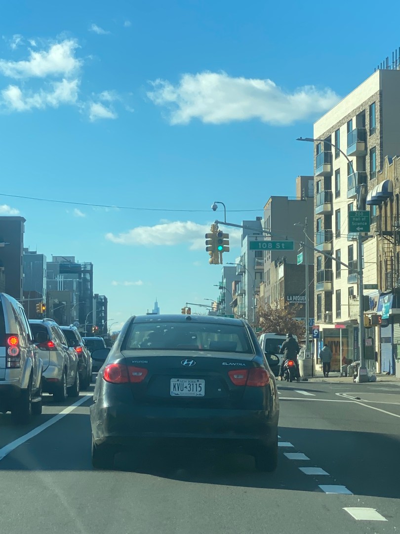
    Pedestrian safety is undoubtedly a critical issue that many New Yorkers care about. Whether you get around by bus, subway, car, or another mode, a walk is at least some part of pretty much any trip around the city.

              This could not be more true about the parents of New York City schoolchildren, who, no matter what neighborhood their child’s school is located in, want to ensure their children get to and from school safely. Unfortunately, streets near schools in New York City tend to be significantly more dangerous for pedestrians than other streets. According to a Streetsblog investigation, during the 8 AM hour when schools are open, there are 57% more crashes and 25% more injuries per mile on streets near schools than on other streets. It is also worth noting that many of the city’s schools are not even located on or adjacent to many of the busiest and most dangerous streets for pedestrians in most boroughs, making this disparity even more alarming. 

                The city commits substantial resources, from speeding cameras near schools to school crossing guards, to ensure the safety of some of its youngest pedestrians and their families. However, even though the prevalence of the resources is often considered insufficient, the city looks to numerous measures to attempt and address what is too many of its most troubling transportation issues.

                  One of arguably its most effective measures for improving pedestrian safety near schools is street design changes on the surrounding streets through the New York City Department of Transportation (NYCDOT), which controls NYC streets. These measures can consist of a variety of measures such as curb extensions, pedestrian islands, lane reconfigurations, and so much more to provide pedestrians with more space, change driver behavior, or improve safety.

Read More »

The NYC Parks Department Is Set To Improve Infrastructure at one of Staten Island’s Largest Parks

By Joseph Morales

  Clove Lakes and Silver Lakes Park are among the largest parks on Staten Island and are popular recreational destinations for residents across the borough. Spanning multiple Staten Island neighborhoods, the parks have several sports fields, the Staten Island War Memorial Ice Skating Rink, and a plethora of natural beauty, including a 300-year-old tulip tree in Clove Lakes Park. The parks are also adjacent to the Staten Island Zoo. The parks are also located near several schools, Wagner College and St Johns University-Staten Island Campus. In addition to all of the valuable amenities that already make it a community asset, the park’s extensive network of walking/cycling trails connect the surrounding communities to the park and each other, allowing many Staten Island residents to experience what the park has to offer as part of their daily lives. 

                    Now, the NYC Parks Department is taking multiple steps to improve the park’s transportation infrastructure to continue improving its connectivity to its surrounding communities. One of the major steps the agency is taking is the reconstruction of the walking/cycling trails at both parks and Hero Park, a smaller park adjacent to Silver Lakes Park. This will likely include the replacement of many trails, such as those in Clove Lakes Park near Royal Oak Road directly off of Victory Boulevard in the Royal Oak neighborhood, where a Parks Department spokeswoman told the Staten Island Advance, “Work will address damaged path areas, as well as some drainage and erosion issues, providing a more seamless experience for all parkgoers.” The Staten Island Advance also reported in reference to conditions at Clove Lakes Park in July 2020 that the trails in the park were “… in need of resurfacing and paving with more durable asphalt…”   

Read More »