By Joseph Morales
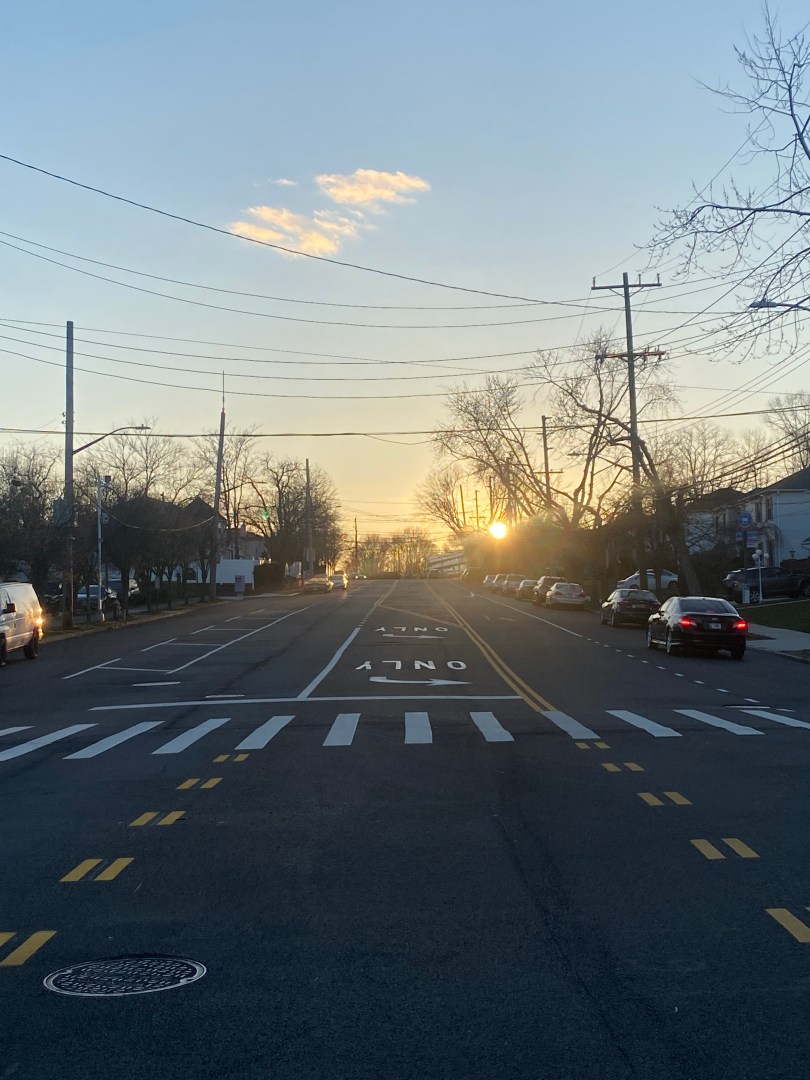
Staten Island is New York City’s least populous borough and is considered by many to have a suburban feel. Many people from the other boroughs and Staten Island alike even refer to the borough as a suburb in conversation. This suburban feel is due to the prevalence of detached single-family houses throughout most neighborhoods in the borough. In turn, these homes form communities that have a much lower density than communities in other boroughs.
This atmosphere is embraced by many Staten Islanders who value the relaxed environment with easier access to Manhattan and Brooklyn than other suburban counties. In addition, residents also have access to urban-like amenities such as NYC’s school choice system, diverse retail options and so much more.
Now, Mayor Eric Adams has a series of policies known as the City Of Yes plans aimed at making NYC more sustainable and equitable. One of the plans is dubbed City Of Yes for Housing Opportunity designed to add more affordable housing to every neighborhood. This would be done through several zoning changes aimed at increasing development. Staten Island is no exception to the policy and residents are already concerned the changes will affect the suburban feel of their neighborhoods. An article from the Staten Island Advance even referred to it as a plan that “could change the face of Staten Island”.
One of the most significant changes is the proposed elimination of parking minimums in Staten Island’s special districts. The districts were designed for different purposes. The South Richmond and Hillsides districts were built to limit density and maintain the suburban feel Staten Island is known for. The St. George, Bay St and Stapleton Districts were made to encourage vibrant, mixed-use commercial districts. Residents are likely concerned that new development without parking could lead to more congestion in their communities regardless of their special district. This would be significant as the borough’s lower population density and less car traffic make it easier for most residents to drive in almost all situations even in busier areas.


Another concern that will likely arise is that mass transit options are arguably inadequate for those who do depend on it to get around. This will make it harder for car-free residents to get around and exacerbate the impact of having a lower parking per resident ratio. While there are buses, they are among the least frequent in the city and connectivity between the North and South Shores is extremely limited. Regional connections also lack, with there being almost no bus service to New Jersey and just a few routes between Staten Island and Brooklyn. The one rail line on Staten Island, the Staten Island Railway only serves residential neighborhoods on the East Shore and not many commercial centers.
Mayor Eric Adams wants to get rid of these parking mandates in order to encourage the development of more housing to increase home affordability. Oftentimes, parking mandates lead to less units being built as developers want to face less regulations and save money. Doing this in many communities that are transit-rich might make sense. If few community members in an area and even fewer low income residents own a car, why restrict new affordable housing development over parking?
However, this change is likely to have a more profound adverse effect on Staten Island. As stated, most people drive here simply because there are few other options. Not only that, but many residents have more than one car. Data from the NYC Department of City Planning shows that the number of vehicles per occupied housing unit ranged from 1.21 to 1.75 in SI community board districts. While lower-income residents tend to have fewer cars in NYC, it is not clear what the extent of this phenomenon is and would be in such a car-dependent borough.
Therefore, it is worth wondering how exactly the elimination of parking minimums could affect Staten Island. In addition, it is also interesting to see how the city and the MTA would adapt to a change in the borough’s transportation needs.
It will likely take years after City of Yes is implemented for anyone to begin to understand its impact on transportation on Staten Island. This is because how travel will change will depend on how many residents move into affordable housing and what travel modes they choose. It is also important to note that many people move to affordable housing developments outside of their original home borough. Therefore, it is likely many residents will experience a Staten Island transportation network that they are very unfamiliar with. This makes any possible travel mode choices even harder to speculate.
The impacts will also be different for the borough’s numerous districts given how they vary in both density and transit access. Despite the ambiguity on overall impacts, there are only two ways to keep congestion and parking demand down in this situation. One and the most obvious would be to keep the mandates in place to ensure all who drive can park if there is new development. While this will be the desired outcome for residents, it would undoubtedly come at the expense of more apartments. The other solution is to reduce car dependency by improving transit and walkability in various communities. How this would look would be different depending on the neighborhood in question.
In St. George, the impacts of vacated parking minimums will likely be the least given how this is a hub for almost all bus routes in the borough. In addition, residents also have access to the Staten Island Ferry and NYC Ferry St. George Route which provides direct service to Manhattan. Also, unlike most other SI neighborhoods, St. George’s density allows residents to attain most of their basic needs within walking distance of their home. This may lead to more residents who want to be car-free wanting to live here over other parts of Staten Island. In order to reduce any car-dependency that may exist, the MTA may want to consider improving frequencies on the SIR and buses. Since most buses only come every 20 min off peak, better headways can offer riders more flexibility and make them want to ride more.
The Bay St District will likely see a slightly greater impact however. Since Bay St is already a mixed-use urban district, there is more transit use here than in other places. However, the limited number of routes south of Victory Blvd leaves car-free residents with very limited travel options. In addition, getting from here to Manhattan is harder here than almost anywhere else in the city. Getting to Manhattan requires riders to take the infrequent SIR or a bus route to the Ferry and connect to other modes in the Financial District. Coupled this with how few of one’s needs can be met within walking distance, and this can lead to a substantial amount of car dependency.
To remedy these situations, the city can ensure the speedy implementation of the Bay Street Neighborhood Plan, which aims to enable more land uses on Bay St. This will allow more residents to be within walking distance of amenities and reduce the need for cars. Additionally, the MTA can consider adding an express bus route between Stapleton and Midtown given the area’s high population density and limited access to Manhattan. Like anywhere else, some better headways on local bus routes will also be a boon.
On Bay St and in St. George, what is needed to reduce car dependency is mainly enhancements to existing transit and some more amenities for car-free residents. However, in the South Richmond and Hillsides Districts, the impact from removing parking mandates can be more detrimental to communities. This is because these neighborhoods are more suburban like with large homes and less walkability and mass transit. Connectivity between the North and South Shores is particularly poor. For instance, a trip between the neighborhoods of Port Richmond and New Dorp which is about 20 minutes by car, could take over an hour and require a transfer. This is due to a lack of direct connection between the communities along with the infrequency of buses. Also, in the South Richmond District, there is no transit connection to nearby New Jersey. Therefore, better north-south transit along with a bus route to the mid-sized city of Perth Amboy, NJ, would be practically essential for having quality transit here that people can depend on for everyday life.
Unfortunately, these transit improvements may be hard to justify given the substantially lower population densities in the Hillsides and South Richmond districts than other areas of NYC. Even if they are made, there may be a lot of investment needed to make car-free life in these districts manageable for new residents. The elimination of parking minimums here will certainly cause the most significant parking problems if more car-owners move in. Therefore, the choice of implementing the new policy here is largely a matter of choosing between convenient transportation or building new affordable housing. This will be a political debate that is likely to be settled during outreach for the City of Yes plan in the next few months.
As City of Yes is set to change how housing is built in NYC, many are looking to see as much affordable housing built as possible. However, that does come at a cost and many of the plan’s kinks are still being worked out by the city in collaboration with neighborhoods citywide. This is especially clear on Staten Island where residents might face significant mobility challenges should parking mandates be removed. Hopefully, the city reaches a compromise with Staten Islanders and takes action to improve alternate travel modes so that new construction does not have significant adverse effects on the mobility of residents.
Works Cited
Liotta, Paul. “Here’s how NYC’s massive housing plan would impact Staten Island’s special and historic districts.” SI Live, 1 August 2024, https://www.silive.com/news/2024/08/heres-how-nycs-massive-housing-plan-would-impact-staten-islands-special-and-historic-districts.html. Accessed 9 August 2024.
Mayor Eric Adams, and New York City Department of City Planning. “City of Yes for Housing Opportunity.” ArcGIS StoryMaps, 21 September 2023, https://storymaps.arcgis.com/stories/f266a53c9cda42d5b7f63b57dc08f849. Accessed 9 August 2024.
New York City Department of City Planning. “Car Ownership in NYC.” Tableau, 24 November 2022, https://public.tableau.com/app/profile/dcptransportation/viz/ACSProfiles/Dashboard1. Accessed 9 August 2024.
