By Joseph Morales
People get around Staten Island using various modes of transportation. According to data from the NYC Department of City Planning, Staten Island is the city’s most car-dependent borough as 83% of households have access to a vehicle. Nonetheless, this still leaves 17% of households and many more youth that primarily get around via walking and mass transit. Many other Staten Islanders also bike to take advantage of the borough’s verdant landscape.
No matter how one gets around, everyone deserves to get to their destination safely. While everyone’s safety is critical, keeping cyclists and pedestrians safe is especially important as they are often the most vulnerable road users. Even those who do drive and take mass transit also must often become pedestrians in their trips once they either park or get off of public transit respectively.
This is why the New York City Department of Transportation has committed to safety improvements in many areas across Staten Island in recent years. The commitment has included improvements or plans for them at busy intersections such as Narrows Rd N/Fingerboard Rd and Victory Blvd/Brook St/Fremont St. On a larger and more controversial note, they have or are implementing larger road safety projects that consist of several design changes on the borough’s busiest roads. These projects have included the Hylan Blvd Road Diet and Lincoln Ave redesign. The projects called for lane removal, left-turn bays, bike lanes and other measures to slow down drivers and keep road users safe. Opponents have often argued that projects like these create more congestion by reducing road space and that they will not help improve driver behavior.
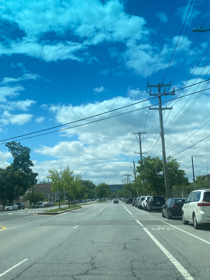
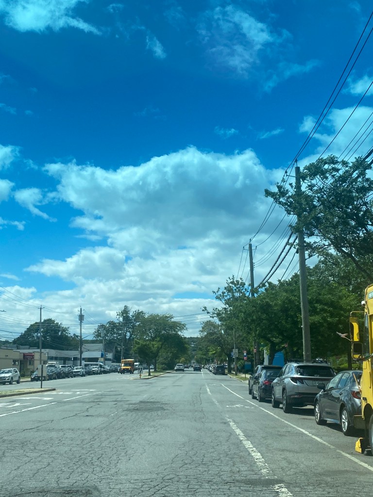
Now, the road diet debate on Staten Island is set to be reignited with the NYCDOT set to add a road diet to Seaview Ave between Father Capodanno Blvd and Mason Ave in the Midland Beach neighborhood. The street is important to the transportation network due to its location near Staten Island’s beaches, along with the popular Ocean Breeze Athletic Complex. Seaview Ave is also home to Staten Island University Hospital’s(SIUH) North Campus, one of only three hospitals on Staten Island. Hence, this project will generate a lot of buzz given how many Staten Islanders use the corridor from throughout the borough.
The NYCDOT’s road diet for Seaview Ave will reduce the number of travel lanes in each direction to one and add a protected bike lane in each direction. The agency will also add a new traffic signal and crosswalk at Seaview Ave/Nugent Ave near the main entrance of SIUH. To better crosswalk conditions, the NYC DOT also plans to remove a small number of parking spots near crosswalks via a strategy known as daylighting. According to data from the Federal Highway Administration, road diets reduce crashes by 19-47% In addition, converting standard bike lanes to protected bike lanes can reduce bicycle/vehicle crashes by 53%. These benefits will be realized by many as Seaview Ave has many pedestrians and is frequented by youth and others visiting the beaches, parks and athletic complex. The evidence supporting the measures proposed in the project is robust.

However, residents likely have mixed opinions on whether or not the road diet is a good idea. When the NYCDOT presented it to Staten Island Community Board 2, the plan barely passed the board vote 12-10. According to the Staten Island Advance, many were skeptical about the removal of a travel lane. This was likely because motorists were concerned that this would lead to slow travel speeds and congestion. While vehicles may slow down a bit, it is worth noting that the NYCDOT considers Seaview Ave a low-volume street, with only a fraction of the car-traffic seen on nearby segments of busier streets with the same number of lanes. Hence, motorists driving at a practical speed should not experience a dramatic increase in travel time.
Another issue that arose amongst community members was whether or not ambulances would have space to bypass traffic en route to the hospital. SIUH-North Campus likely sees a high number of ambulances due to it being one of only two trauma centers on Staten Island. Hence, it is imperative that ambulances can proceed along Seaview Ave quickly and safely. Thankfully, the FDNY, SIUH, and the NYCDOT were able to work together to plan designated clearances so that vehicles can pull to the sides for ambulances. This will remedy the ambulance issue while allowing pedestrians and motorists to benefit from the road diet.
The NYCDOT is not sure when work can start because unlike most city streets, part of Seaview Ave is owned by the state. The city has obtained full jurisdiction as part of the project but it has yet to be officially signed off on according to the Staten Island Advance. Once the Seaview Ave project is finished, the NYCDOT plans to make traffic safety improvements on the intersecting Mason Ave. It was initially going to be included in the Seaview Ave project but it wasn’t as the NYCDOT wanted to focus on Seaview Ave which was the main issue.
The Seaview Ave road diet will be one of the NYCDOT’s latest attempts to improve road safety on Staten Island. Despite Staten Island having the city’s highest car ownership rates, many people get around via various modes and recent projects in the borough reflect its diverse travel needs. Implementing projects like road diets has not always been easy as many motorists have been opposed due to the loss of road space. Hopefully, this project and others on Staten Island are successful at allowing everyone regardless of mode to traverse the borough efficiently and safely.
Works Cited
Alves, Giavanni. “’We didn’t ask for this,’ Staten Islanders speak out against NYC’s proposed bike lanes on Hylan Blvd.” SILive.com, 16 August 2022, https://www.silive.com/news/2022/08/we-didnt-ask-for-this-staten-islanders-speak-out-against-nycs-proposed-bike-lanes-on-hylan-blvd.html. Accessed 30 June 2024.
Bascome, Erik. “Controversial new Hylan Boulevard bike lanes drawing cyclists as weather warms.” SILive.com, 7 May 2023, https://www.silive.com/news/2023/05/controversial-new-hylan-boulevard-bike-lanes-drawing-cyclists-as-weather-warms.html. Accessed 30 June 2024.
“Bicycle Lanes | FHWA.” Federal Highway Administration, https://highways.dot.gov/safety/proven-safety-countermeasures/bicycle-lanes. Accessed 30 June 2024.
CB2 Staten Island. “CB 2 July 18, 2024 Meeting.” YouTube, 18 June 2024, https://www.youtube.com/watch?v=9DfUZwVROkw. Accessed 30 June 2024.
“Lincoln Avenue and Father Capodanno Boulevard to North Railroad Avenue Corridor Safety Improvements.” NYC.gov, Spring 2023, https://www.nyc.gov/html/dot/downloads/pdf/lincoln-ave-father-capodanno-blvd-railroad-ave-april-2023.pdf. Accessed 30 June 2024.
Matteo, Mike. “NYC DOT to redesign this major Staten Island roadway, remove lane of traffic in each direction.” SILive.com, 21 June 2024, https://www.silive.com/news/2024/06/nyc-dot-to-redesign-this-major-staten-island-roadway-remove-lane-of-traffic-in-each-direction.html. Accessed 30 June 2024.
New York City Department of City Planning-Transportation. “Car Ownership in NYC.” Tableau, 24 November 2022, https://public.tableau.com/app/profile/dcptransportation/viz/ACSProfiles/Dashboard1. Accessed 30 June 2024.
New York City Department of Transportation. “Hylan Boulevard Street Improvement Project – CB 3 – June 2022.” NYC.gov, 8 June 2022, https://www.nyc.gov/html/dot/downloads/pdf/hylan-blvd-street-improvement-project-jun2022.pdf. Accessed 30 June 2024.
New York City Department of Transportation. “NYC DOT – Current Projects.” NYC.gov, June 2024, https://www.nyc.gov/html/dot/html/about/current-projects.shtml#staten-island. Accessed 30 June 2024.
New York City Department of Transportation. “Victory Boulevard, Brook St, Fremont Street – CB1 – May 17, 2022.” NYC.gov, 17 May 2022, https://www.nyc.gov/html/dot/downloads/pdf/victory-blvd-brook-st-fremont-st-may2022.pdf. Accessed 30 June 2024.
“New York State Trauma Centers.” New York State Department of Health, June 2024, https://www.health.ny.gov/professionals/ems/state_trauma/trauma2.htm. Accessed 30 June 2024.
“Road Diets (Roadway Reconfiguration) | FHWA.” Federal Highway Administration, https://highways.dot.gov/safety/proven-safety-countermeasures/road-diets-roadway-reconfiguration. Accessed 30 June 2024.
