By Joseph Morales
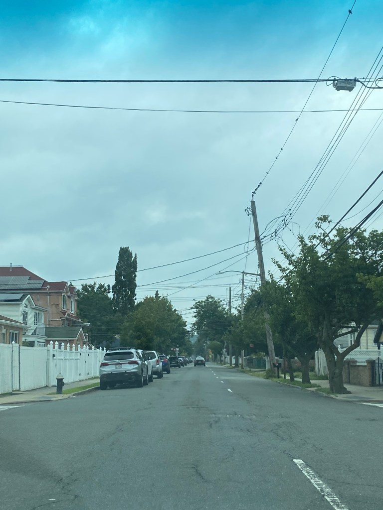
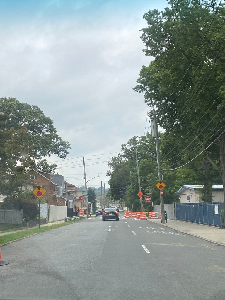
Lincoln Avenue is a busy mixed-use street that runs between the Midland Beach and Grant City neighborhoods on the South Shore of Staten Island. The eastern portion of the corridor between Franklin Delano Roosevelt(FDR) Boardwalk and Beach/Father Cappodano Blvd and Hylan Blvd is marked predominantly by dense clusters of single-family homes. This area is also home to an elementary school, P.S 038 George Cromwell with a middle school IS.002 George L Egbert being just one block away. Altogether, over 1,300 students attend school on or in the immediate vicinity of Lincoln Ave based on data from MySchools. Lincoln Ave is also one block away from Miller Field, which boasts the largest concentration of athletic fields in Staten Island.
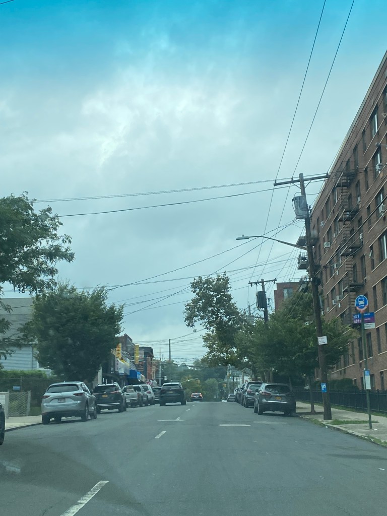
As for the western portion of the street between Hylan Blvd and N Railroad Ave station, the corridor is home to a host of residences and businesses, including several apartment buildings. The Grant City Staten Island Railway(SIR) station is located on Lincoln Ave between N Railroad Ave and S Railroad Ave, which connects the Grant City neighborhood to the rest of the East Shore of Staten Island as well as the St. George neighborhood and Ferry Terminal. The S51 and S81 buses both run along this portion of the corridor and served almost 1,800 riders in 2021 and almost 3,600 riders pre-pandemic in 2019, according to the most recent available MTA ridership figures.
Unfortunately, in addition to being one of the busiest corridors on the East Shore, it is also one of the most dangerous for pedestrians. According to NYCDOT data, there were 78 total injuries in traffic accidents on Lincoln Ave with 10 injuries being pedestrians and 3 being cyclists. This does not include midblock collision, and the tally was based on New York State DOT and Department of Motor Vehicles(DMV) data that was available to the NYCDOT as of August 2022. The corridor is also a Vision Zero Priority Corridor, with 2.2 pedestrians killed or seriously injured(KSI) per mile.
One of the largest street design factors that contribute to the dangers of Lincoln Ave is its width of two travel lanes in a single direction during rush hours provides the roadway with more road space than is needed to transport its regular traffic volumes. The rightmost lane, which is a travel lane during rush hours, is used for parking all other times. Due to the street not having many stop signs or traffic lights, the NYCDOT claimed that drivers may pick this one-way corridor to travel from east to west at faster speeds. This issue is likely exasperated since the nearby Midland Ave has a higher commercial density, is home to a larger school, and has a bike lane, and the nearby Greeley Ave has just one lane in each direction; Lincoln might become the primary option for motorists who want to travel at higher speeds. The fact that motorists speed on Lincoln is evident by the fact that a single speeding camera near the Grant City SIR station caught more than 6,000 speeding violations, or 25 per day between July 2021 and June 2022, which is high, especially considering that this is on the commercial side of Lincoln Ave where it is likely a lot harder to speed than on Lincoln east of Hylan Blvd.
Since each westbound lane on Lincoln can serve about 272 vehicles per hour during the peak period, the agency proposes changing the design to a lane that can serve 522 vehicles per lane per hour. As the agency states that a congested lane amounts to 700 vehicles per hour or more, this setup will allow vehicles to move at a practical speed while reducing their ability to drive at unsafe speeds, especially around the elementary school. The agency will still maintain the three-lane setup between Boundary Ave and Hylan Blvd to avoid bottlenecks at the Hylan Blvd intersection, which links Lincoln Ave to the rest of Staten Island’s East and South Shores.
With the rush hour travel lane being eliminated, not only will safety be improved, but the lane would be repurposed to provide much-needed parking along the corridor. As 85% of households have a car and there are 1.51 vehicles per occupied housing unit in Staten Island Community District 2, where Lincoln Ave is located, versus 0.63 vehicles per occupied housing unit in the rest of the city, there is a higher rate of residents who need parking here than in other areas. Visitors to the commercial area and schools may also require parking, especially considering the fact that Community District 3, which starts mere blocks from Lincoln Ave, has a 92% household car ownership rate with 1.75 vehicles per occupied housing unit. The parking lanes may also help parents to drop off their school children, considering the fact that 64% of CD2 residents and 71% of CD3 residents drive to work.
In addition to the travel lane removal alone being able to improve safety, the NYCDOT also proposes adding speed humps to five locations along the eastern portion of the corridor to reduce vehicle speeds, something it only does on one-lane streets. They are different from speed bumps in the sense that speed humps are a gradual raised area that is lower and is felt in a less abrupt manner by those in the vehicle. Studies from the Federal Highway Administration show that speed humps which are frequently used on residential corridors similar to Lincoln Ave, can reduce speeds by nearly 10 mph in certain circumstances. In addition, a 2004 study from the National Institute of Health showed that children who lived within a block of a speed hump had a nearly 2-fold reduction in their risk of being struck and injured by a vehicle, which is particularly notable since, as stated earlier around 1,300 students attend school on or within a block of Lincoln Ave.
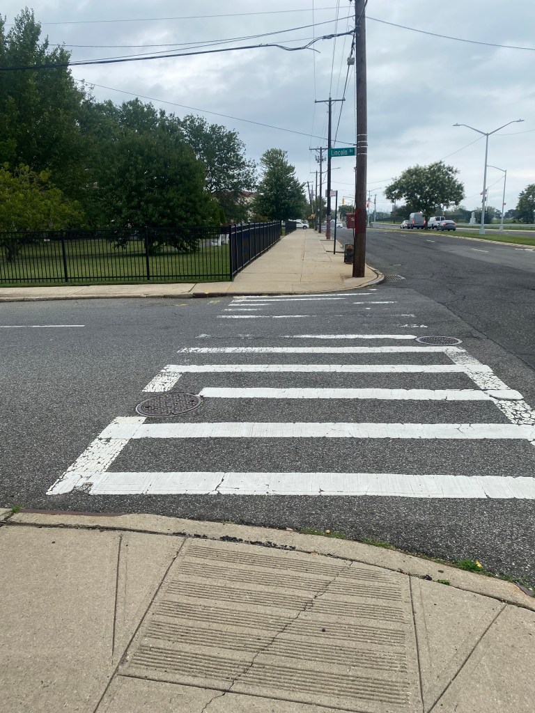
To further expand on their goals to make safety improvements around Lincoln Ave, the NYCDOT plans to add curb extensions at the intersection of Lincoln Ave/Father Cappodanno Blvd near FDR Beach and near P.S 38. This would be to increase the safety of pedestrians by reducing crossing distances and slightly narrowing Lincoln Ave in the spot the curb extension is installed. The curb extensions should be particularly helpful near P.S 38 where a lack of pedestrian space could make crossing the street less safe for children and make it harder for large numbers of individuals to cross the street during arrival/dismissal periods. The city will also add new crosswalks at the intersections of Lincoln Ave/Oldfield St and Lincoln Ave/Poultney St near the school, further complementing the newly installed stop sign at Lincoln Ave/Poultney St to provide children with safe areas to cross Lincoln Ave. The NYCDOT will also install ADA-accessible pedestrian ramps at both crosswalks since a Federal Court-ordered report in regards to a settlement between the city and disability advocates in relation to the installation of curb cuts found that 80% of curb cuts in NYC were not ADA-accessible according to the Gothamist, making it extremely tedious for those with mobility disabilities to safely and comfortably navigate their communities.
Outside of pedestrian safety improvements, the NYCDOT plans to add a bike lane to the corridor between Boundary Ave and S Railroad Ave to improve cyclist safety. In addition to providing cyclists with the opportunity to have safer trips on Lincoln Ave, the bike lanes will also connect to existing bike lanes on Midland Ave and North/South Railroad Avenues, providing cyclists with access to another important mixed-use corridor and a corridor that links most of Staten Island’s East Shore neighborhoods respectively. They are a proven method of improving cyclist safety as an NYCDOT study published in October 2021 showed that conventional bike lanes like the ones to be installed on Lincoln Av reduced cyclist injuries by 32% on the bike lanes studied. While none of the lanes studied were on Staten Island, the NYCDOT studied lanes throughout the city are located in areas with activity densities similar to those found in the Lincoln Avenue area.
As two other major street safety improvements in speed cameras and a road diet(which also involved reducing travel space for cars) on Hylan Blvd have been opposed on the grounds that they would not be as effective as other improvement methods, this project seems to have a much better reception. While Lincoln Ave is not as large of a street as Hylan Blvd is in reference to lanes, it may become proof that while street improvement projects may not always make everyone happy, compromises can be reached to ensure that streets are safe and accessible for all road users without it becoming drastically harder for any individual to get around regardless of desired mode.
Works Cited
New York City Department of Education. “P.S 038 George Cromwell(31R038).” MySchools, https://myschools.nyc/en/schools/kindergarten/?dbn=31R038. Accessed 6 August 2023.
MTA New York City Transit. Average New York City Transit Bus Ridership. 2022.
New York City Department of Transportation. “Lincoln Avenue and Father Capodanno Boulevard to North Railroad Avenue Corridor Safety Improvements.” NYC.gov, April 2023, https://www.nyc.gov/html/dot/downloads/pdf/lincoln-ave-father-capodanno-blvd-railroad-ave-april-2023.pdf. Accessed 6 August 2023.
New York City Department of City Planning-Transportation. “Car Ownership in NYC.” Tableau, 24 November 2022, https://public.tableau.com/app/profile/dcptransportation/viz/ACSProfiles/Dashboard1. Accessed 6 August 2023.
“Speed Management Countermeasures: More than Just Speed Humps | FHWA.” Federal Highway Administration, 1 February 2017, https://highways.dot.gov/safety/speed-management/speed-management-countermeasures-more-just-speed-humps#1. Accessed 6 August 2023.
Tester, MD, MPH, June M., et al. “A Matched Case–Control Study Evaluating the Effectiveness of Speed Humps in Reducing Child Pedestrian Injuries.” NCBI, https://www.ncbi.nlm.nih.gov/pmc/articles/PMC1448312/. Accessed 6 August 2023.
Kim, Elizabeth, and Catalina Gonella.
“NYC Agrees To Make All Sidewalk Curbs Accessible To The Disabled.” Gothamist, 21 March 2019, https://gothamist.com/news/nyc-agrees-to-make-all-sidewalk-curbs-accessible-to-the-disabled. Accessed 6 August 2023.
Bascome, Erik. “Controversial new Hylan Boulevard bike lanes drawing cyclists as weather warms.” SILive.com, 7 May 2023, https://www.silive.com/news/2023/05/controversial-new-hylan-boulevard-bike-lanes-drawing-cyclists-as-weather-warms.html. Accessed 7 August 2023.
Liotta, Paul. “Proposed new law could bring speed bumps to NYC speed camera locations, making them useless.” SILive.com, 13 July 2023, https://www.silive.com/news/2023/07/this-bill-could-bring-speed-bumps-to-nyc-speed-camera-locations.html. Accessed 7 August 2023.
