
By Joseph Morales
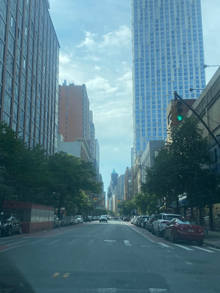
Livingston Street is a major commercial and office corridor in the heart of Downtown Brooklyn. Many important borough offices are located on or near the corridor, such as the Kings County Courts and Brooklyn Borough Hall. Major agencies such as the New York City Department of Education and the MTA also have offices in the area. In addition, the corridor is located near multiple large educational institutions such as Long Island University-Brooklyn, the nearly 6,000-student Brooklyn Technical High School, and the Brooklyn Law School. The corridor also has ample access to public transit, with nearby access to over ten subway lines and a plethora of bus lines that serve about 50,000 riders on a typical weekday, according to NYCDOT statistics. Transit significantly helps Downtown Brooklyn to thrive as visitors to and from the area often come from throughout Brooklyn and the New York Metropolitan Region. In addition, only 33% of households in the Downtown Brooklyn area have access to a vehicle, according to NYC Department of City Planning data; thus, transit is critical to the livelihoods of area residents.
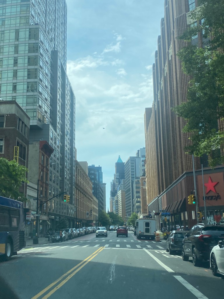
As you might expect, congestion along the corridor is common. Thus, buses are known to be excruciatingly slow, as bus speeds tend to average around five mph in both directions on a typical basis. As Livingston St is an artery for bus routes that travel throughout Brooklyn, delays here significantly affect riders boroughwide regardless of whether or not they are traveling to Downtown Brooklyn. This effect is even more dramatic for Livingston St than for other bus service arteries across the city, given the large geographic size of Brooklyn and the fact that the congestion is more prevalent across more of Brooklyn than other boroughs. One of the busiest routes on Livingston St is the B41-LCL/LTD, which travels about 7.5-9.0 miles to the southern end of Flatbush Av at Kings Plaza or Bergen Beach, it is the 10th busiest bus route in the city in 2020 and 2021 and is proposed to become a Select Bus Service(SBS) route as part of the Brooklyn Bus Network Redesign according to the Draft Plan. Delays here also have a more widespread impact on bus service here than on other bus service arteries in the city, given the large geographic size of Brooklyn and the fact that the congestion is more prevalent across more of Brooklyn than other boroughs. There are bus lanes on the corridor, with the eastbound lanes being offset from the curb and the westbound lanes being curbside. However, according to an NYCDOT presentation, vehicles often block these lanes, rendering them less effective than is desirable.
Thus, the NYCDOT has a unique plan for speeding up buses along the corridor. The plan includes adding two bus lanes in both directions on the south curb of the street for buses to move in both directions from Hoyt St to Flatbush Av. All other vehicles on Livingston would be restricted to traveling westbound only in mixed travel lanes on the opposite side of the street. Vehicles would, however, be allowed to travel eastbound between Smith St and Gallatin Pl to preserve vehicular access to the Metrotech corporate and academic campus(also known as Brooklyn Commons). Given the proposed geometry of the design and the fact that the westbound lane would protect the eastbound lane on the left side of the street, the odds of vehicles blocking the lanes would likely be slim to none. In addition to improving travel times for bus riders, this part of the project may result in faster travel speeds for westbound vehicular traffic as larger buses would not frequently be entering and reentering traffic. Between Gallatin and Boerum Pl, the bus lanes will essentially remain as is. Due to construction at the MTA office building and former headquarters, there will be no construction west of Smith St; as of now.
One of the likely concerns with this project is how westbound buses will cross from one side of the street to another to move from the curbside bus lanes to the offset ones due to possible conflicts with westbound car traffic or pedestrians attempting to cross the street midblock, as the NYCDOT did not indicate any plans to prevent pedestrians from crossing here or mitigate motor vehicle conflicts in this situation in their presentation. The city will likely not resort to enforcing its relatively unrecognized jaywalking law that prohibits pedestrians from crossing streets outside of crosswalks, as many have claimed that enforcement of this law has been disproportionately targeted toward people of color. Additionally, jaywalking enforcement here would likely lead to questions on why similar enforcement does not exist elsewhere, especially in other busy areas such as Midtown Manhattan, where pedestrians crossing against signals frequently leads to motorist/pedestrian conflicts.

A more common concern with bus lane projects that the NYCDOT may encounter here is concerns over the loss of parking in a neighborhood where parking is already at an extreme premium, and many pay high prices to park their cars in garages. However, this argument will likely be weaker and/or less prevalent here as the vast majority of residents and travelers to the area do not drive. In addition, as many drivers to the area come from outside of Brooklyn and even New York City as a whole, there would likely be less momentum in any campaign to preserve parking spaces. However, due to the commercial and residential density of the corridor, the NYCDOT still is considering metered commercial vehicle spots to assist businesses with loading activities as most businesses receive deliveries via box truck between the hours of 7 AM to 5 PM, according to the NYCDOT’s presentation to Brooklyn Community Board 2.
Another issue that the bus lanes may encounter is that while traffic flow on Livingston St westbound might improve, congestion on Schermerhorn St eastbound is projected to increase initially, according to the NYCDOT, as traffic that would have otherwise used Livingston Street uses Schermerhorn as an alternative. However, the NYCDOT said in its presentation that they would convert Schermerhorn from one-way westbound to eastbound between Boerum Pl and Smith St and consider potential improvements to Schermerhorn St if necessary to alleviate congestion. Currently, the NYCDOT projects that Schermerhorn St and Atlantic Ave will serve as the two main alternate routes for eastbound travel. However, one thing that may work in drivers’ favor regarding avoiding congestion is that Downtown Brooklyn has a robust number of side streets parallel to Livingston St. Thus, many will likely find alternate routes to Livingston that take them not much longer, if at all, to get to their final destinations, including the ones the NYCDOT has proposed. They also stated that as they have seen in past projects, drivers will likely disperse among multiple alternate routes, choose to drive during off-peak hours, and some may even choose to take mass transit.
The extent to which motorists switch to mass transit will likely be an interesting question as drivers to Downtown Brooklyn have likely already endured immense levels of congestion and difficulty parking that have not yet led to them making the switch. Given that Downtown Brooklyn is a regional destination in a less central location than many core parts of Manhattan, the number of people who switch to mass transit here may be limited as many who travel to Downtown Brooklyn by car likely live in various parts of NYC or elsewhere that have little access to reliable transit services to Downtown Brooklyn. Also, drivers who commute to work in the area may have limited options for driving during peak hours.
Like with many of their projects, the NYCDOT is aiming to make pedestrian safety improvements on the corridor in addition to bus service improvements, as Livingston St is designated as a Vision Zero Priority Corridor due to having a high number of pedestrians KSI(killed or seriously injured). According to data presented by the NYCDOT to Brooklyn Community Board 2, 21 out of 22 pedestrian injuries on Livingston St between 2016-2020 were due to turning vehicles striking pedestrians crossing with the right of way, and 15 of these were in the midst of left turns.
Thus, the NYCDOT has decided to add bus boarding islands and left turn bays on Livingston St at Nevins St and Hoyt St, respectively, to increase pedestrian and bus rider safety. Bus boarding islands can help increase pedestrian safety by providing them more space on the roadway and helping to improve bus speeds as buses would not have to pull up to the sidewalk to pick up passengers. In addition, these islands will include fences, bollards, and leaning bars for the comfort of riders, which can come in handy during long waits for buses. As for the left turn bays, these are designated areas where all left turns at an intersection are mandated to occur. In these cases on Livingston St, the cars turning left will have a traffic signal completely separate from other vehicles. They prove to be effective as, according to an NYCDOT study done in August 2016 on left turns, left turn bays with signals led to a 33% decrease in pedestrian and cyclist injuries at the intersections where they were implemented. In addition to the safety aspect, the left turn bays will prevent turning vehicles from interfering with bus speeds as they will have a space separate from the bus lanes to make a turn.

Another pedestrian safety element the NYCDOT plans to add to Livingston St is concrete pedestrian islands, which reduce crossing distances and provide pedestrians with more physical protection from vehicles. They are proposed for Livingston St intersections with Elm Pl and Flatbush Av, respectively. According to the Federal Highway Administration, pedestrian islands can help reduce pedestrian crashes by as much as 32% as they reduce crossing distances and provide pedestrians with more physical protection from vehicles. Painted curb extensions are proposed for this intersection as well as for intersections along Livingston St with Flatbush Ave, Hanover Pl, Bond St, and Gallatin Place, which will also help improve pedestrian safety by shortening crossing distances and providing pedestrians with more safe space in the roadway. The NYCDOT is considering adding partnering with a local art sponsor to add the artwork to the painted section. In addition, the agency plans to partner with the Parks Department to install trees on the north curb and planters throughout the corridor to beautify the streetscape.
The NYCDOT plans to begin work on the project this summer, and the agency plans to make adjustments as needed. They might also consider making improvements west of Smith St upon the completion of construction at the MTA building. As the NYCDOT has done these types of bus service/pedestrian projects citywide, one may wonder how much of a difference it can make for all road users when streets are redesigned.
Works Cited
“Brooklyn Technical High School (13K430).” NYC MySchools, 2023, https://www.myschools.nyc/en/schools/high-school/13K430. Accessed 23 June 2023.
New York City Department of Transportation. “Livingston Street Transit Priority Study – Community Board 2 – May 18, 2023.” NYC.gov, 18 May 2023, https://www.nyc.gov/html/dot/downloads/pdf/livingston-st-bus-priority-study-cb2-may2023.pdf. Accessed 23 June 2023.
“New York City Transit – Subway and bus ridership for 2020.” MTA, 2021, https://new.mta.info/agency/new-york-city-transit/subway-bus-ridership-2020. Accessed 23 June 2023.
“New York City Transit – Subway and bus ridership for 2021.” MTA, 2022, https://new.mta.info/agency/new-york-city-transit/subway-bus-ridership-2021. Accessed 23 June 2023.
Metropolitan Transportation Authority. “Brooklyn Bus Network Redesign Draft Plan.” mta.info, 1 December 2022, https://new.mta.info/document/101521. Accessed 23 June 2023.
New York City Department of Transportation. “Livingston Street Transit Priority Study – Community Board 2 – May 18, 2023.” NYC.gov, 18 May 2023, https://www.nyc.gov/html/dot/downloads/pdf/livingston-st-bus-priority-study-cb2-may2023.pdf. Accessed 23 June 2023.
Knispel, Jay S. “Is Jaywalking Permissible in New York? – New York, NY – Law Offices of Jay S. Knispel Personal Injury Lawyers.” NYC Personal Injury Lawyer, 24 February 2023, https://jknylaw.com/blog/is-jaywalking-permissible-in-new-york/. Accessed 23 June 2023.
Chasan, Aliza. “About 90 percent of all jaywalking tickets issued to Black and Latino pedestrians in NYC.” PIX11, 28 January 2020, https://pix11.com/news/local-news/about-90-percent-of-all-jaywalking-tickets-issued-to-black-and-latino-pedestrians-in-nyc/. Accessed 23 June 2023.
New York City Department of Transportation. “DON’T CUT CORNERS-LEFT TURN Pedestrian & Bicyclist Crash Study.” NYC.gov, August 2016, https://www.nyc.gov/html/dot/downloads/pdf/left-turn-pedestrian-and-bicycle-crash-study.pdf. Accessed 23 June 2023.
Federal Highway Administration. “Pedestrian Refuge Island Safe Transportation for Every Pedestrian Countermeasure Tech Sheet.” FHWA Highway Safety Programs, June 2018, https://safety.fhwa.dot.gov/ped_bike/step/docs/techSheet_PedRefugeIsland2018.pdf. Accessed 23 June 2023.
