
By Joseph Morales
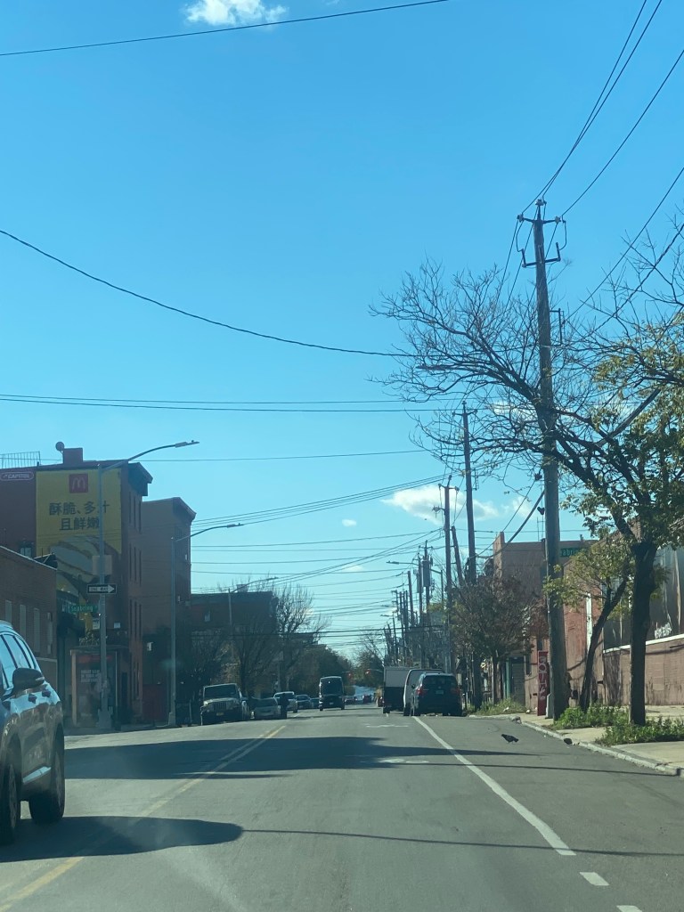
Red Hook, Brooklyn is an area with a very rich history as one of the busiest industrial neighborhoods in NYC. Now, it is a densely-populated residential community with a growing arts scene and a wide variety of businesses including an IKEA store. A substantial number of Red Hook residents live in the Red Hook East and Red Hook West NYCHA complexes, which is the largest public housing development in Brooklyn and one of the largest public housing complexes in New York City.
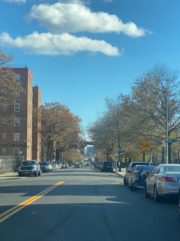
Unfortunately, Red Hook can be a difficult place to travel to and from via public transportation. Red Hook is one of the few Western Brooklyn neighborhoods to not have subway access and bus service is limited. There are two MTA bus routes that operate in Red Hook, the B61 which travels from Park Slope through Red Hook to Downtown Brooklyn as well as the B57 which goes from the IKEA store in Red Hook to Maspeth, Queens primarily via Court Street through Red Hook and Cobble Hill and Flushing Avenue from Downtown Brooklyn to Maspeth. Despite being overcrowded sometimes, the B57 and B61 are not very frequent.(You can check out the schedules for these buses here:(B57)https://new.mta.info/document/7121 (B61) https://new.mta.info/document/7131These routes are also considered to be slow and unreliable. The B57 averaged speeds of 6.5-7.0 with a CJTP(Customer Journey Time Performance) of 56.2-70.6% each month between July 2021-2022. These numbers are lower than the Brooklyn averages of 7.0-7.3 mph and 65.5-74.8% each month in the same timeframe. While the B61 averaged higher speeds than the Brooklyn average of 7.3-7.8 mph each month as well as a pretty much average CJTP of 65.4-78.6%, it received a D on its latest report card from the Bus Turnaround Coalition, an advocacy group that fights for better bus service in NYC. This was in large part due to its 1 in 8 bunch rate, which was higher than 88.5% of NYC bus routes. A bus is considered bunched if it arrives within 25% of the bus that is supposed to come after them on its route. In addition, this route had a 53% on-time rate which was worse than 73.5% of NYC bus routes. CJTP measures what percentage of buses arrive at key destinations along its route within five minutes of its schedule.
Both of these routes have significant portions of their routes located outside of Red Hook, particularly the B57, so it’s possible that slow speeds and unreliability can be attributed to areas outside of Red Hook, as delays on one part of a transit route can impact all of the riders on the route regardless of where they are going. Within Red Hook however, the streets that the B57 and B61 operate along Van Brunt St and Smith St are not only the only streets that travel directly from the Red Hook area to the Downtown Brooklyn area, but they are also narrow commercial corridors leading to congestion on a regular basis, which is a significant contributor in the speed and reliability of the local bus routes.
With Red Hook being one of the city’s most notorious transit deserts and being a neighborhood that has been considered prime for redevelopment for the past several years, the MTA is set to evaluate a subway extension plan that could extend the W line via the Montague Street Tunnel(which is currently used by the R train at all times and the N during late nights) and adding new stations at Columbia Waterfront(Columbia and Kane Streets), Atlantic Basin(Van Brunt and Verona Streets) and Red Hook(Lorraine and Hicks Streets) The MTA would also evaluate an extension to the existing 4 Av-9 St station that would provide riders an additional connection to Park Slope as well as several bus lines.
Though the MTA is now officially including a Red Hook subway extension for consideration in a future capital plan, this is nowhere near the first time the idea of a subway extension to Red Hook has been floated around. In September 2016, world-renowned development company AECOM proposed two multibillion-dollar development proposals that included an extension of 1 train from South Ferry to Red Hook in addition to 8,750-11,250 new affordable housing units, 4.5 miles of coastal protection, and more. The projected cost of the subway extension was estimated to be around $3.5 billion. This is likely due to the cost of constructing a brand new subway tunnel through the East River which would be among the longest underwater tunnels in the NYC Subway system and would be an incredible engineering challenge. In addition, the plans include building a station on Governors Island which would possibly be a catalyst for development there in addition to making it faster for people to get there to enjoy recreational activities during the summer. However, the only other NYC Subway station on a similar type of island is the Roosevelt Island(F) station which is also the deepest underground subway station in the NYC Subway system. Therefore, this portion of the project may have engineering challenges that might not only be incredibly difficult to address, but they may also be challenges that the city, state and federal government have little to no experience addressing.
Another company named Related Companies, which in addition to being one of the city’s largest developers has also worked on the Hudson Yards and Shops at Columbus Circle projects in addition to countless development projects for almost all types of land uses also proposed a subway extension. This would be a 1 mile extension of the R train that would also stop at Governors Island.
The plan the MTA is considering does make some sense, where unlike in the proposals made by the development companies included the use of an existing underwater tunnel, which should cut the project’s cost as well as reduce possible technical constraints. The Columbia Waterfront station would serve the western part of the Cobble Hill neighborhood in Brooklyn and would primarily serve the waterfront itself as well as maritime workers who may choose to take the subway to work. The station will also serve local residents. The Atlantic Basin station at Van Brunt and Verona Streets in Red Hook will serve the residential community as well as the popular commercial corridor in Van Brunt Street. The Red Hook station which will likely be the busiest on the line will be at the intersection of Lorraine and Hicks St adjacent to the Red Hook East and West Houses. This station will be a core part of mobility for residents in the housing complexes as they compose of about 68% of Red Hook’s population. The station would also serve IKEA which is a major regional shopping destination. A connection to the Smith-9th St station would provide a faster alternative to the B61 bus for Carroll Gardens, Red Hook and Park Slope as well as a connection for Park Slope riders to the BMT Broadway Line(N, Q, R, W between Vesey St and Times Sq-42nd St).

A subway extension to a community like Red Hook would be quite historic as not only would it provide connections that Red Hook has never had before but it would also be the first subway extension the outer boroughs has had since 1988. As these details are extremely preliminary and whether or not the MTA will proceed with the proposal is yet to be decided, one might wonder what the project can mean for the communities along the potential route.
Works Cited
“B57 Between Maspeth, Queens, and Red Hook, Brooklyn-Bus Timetable.” MTA, https://new.mta.info/document/7121. Accessed 15 December 2022.
Bagli, Charles V. “Subway Stop and Housing for Red Hook Are Among Cuomo Proposals (Published 2018).” The New York Times, 3 January 2018, https://www.nytimes.com/2018/01/03/nyregion/red-hook-subway-housing.html. Accessed 15 December 2022.
“Bus Dashboard.” http://dashboard.mta.info/Bus. Accessed 15 December 2022.
Clark, Roger. “High-flying fun on Roosevelt Island.” NY1, 11 August 2022, https://www.ny1.com/nyc/all-boroughs/summer-stops/2022/08/10/high-flying-fun-on-roosevelt-island. Accessed 15 December 2022.
Kabak, Benjamin, et al. “In re-imagined Brooklyn, AECOM wants to bring the 1 train to Red Hook.” Second Ave. Sagas, 16 September 2016, https://secondavenuesagas.com/2016/09/16/the-9-train-lives-in-red-hook/. Accessed 15 December 2022.
MTA. “Bus Dashboard.” http://dashboard.mta.info/Bus. Accessed 15 December 2022.
“MTA B61 bus timetable.” MTA, https://new.mta.info/document/7131. Accessed 15 December 2022.
“MTA’s 2025-2044 20-Year Needs Assessment.” MTA, https://new.mta.info/20YN. Accessed 15 December 2022.
“MTA’s 2025-2044 20-Year Needs Assessment.” MTA, 2022, https://new.mta.info/20YN. Accessed 15 December 2022.
New York City Department of City Planning. “Red Hook Transportation Study.” NYC.gov, https://www.nyc.gov/assets/planning/download/pdf/plans-studies/red-hook/full_report.pdf. Accessed 15 December 2022.
New York City Housing Authority. “NYCHA 2022 FACT SHEET.” NYC.gov, https://www1.nyc.gov/assets/nycha/downloads/pdf/NYCHA_Fact_Sheet_2022.pdf. Accessed 15 December 2022.
“Southwest Brooklyn-Growing From The Waterfront Again-A Framework And Tools To Drive an Ascendant, Resilient, Equitable and Thriving New York City.” AECOM, http://www.aecom.com/swbrooklyn/wp-content/uploads/2016/09/SW-Brooklyn-Study.pdf. Accessed 15 December 2022.
