By Joseph Morales
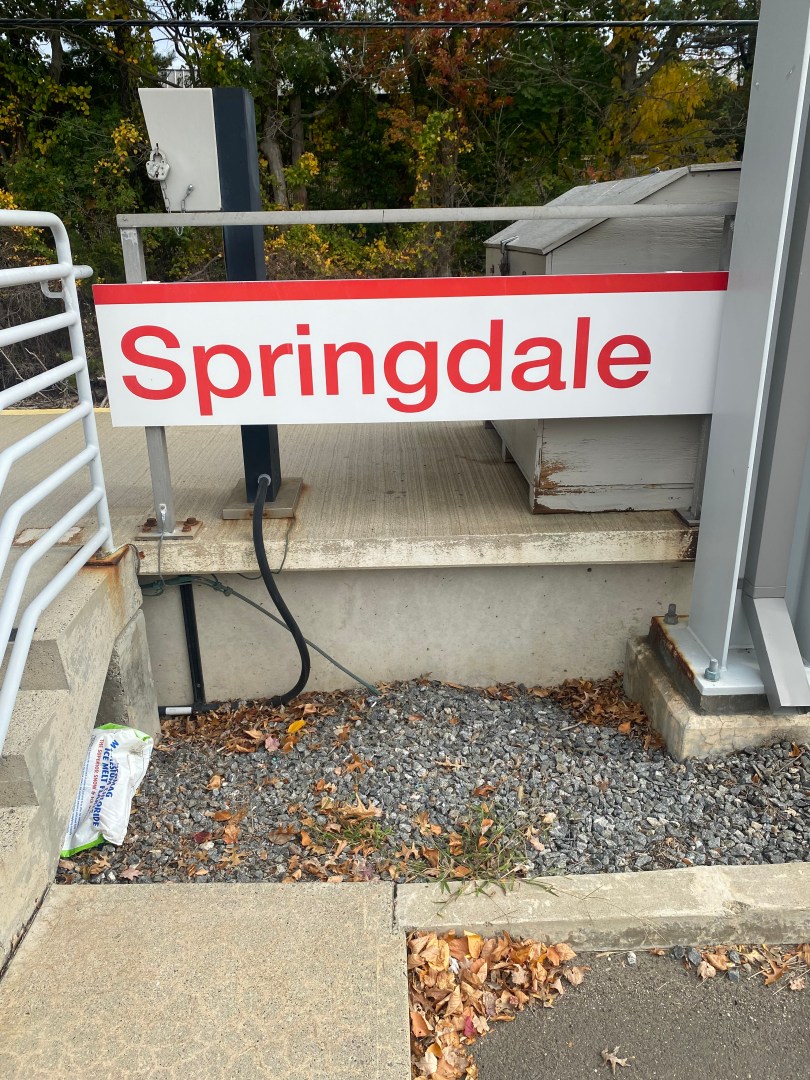
The Springdale station is a Metro-North Railroad(MNR) Station on the New Canaan Branch of the New Haven Line of the Metro-North Railroad in the Springdale section of Stamford, Connecticut. The station sits off a busy corridor in a typical suburban setting. The station is a critical transportation asset for the community, serving as its primary connection to Westchester County and New York City. Now, the City of Stamford is embarking on a new project to build a more lively station environment for riders and make the station accessible for cyclists, pedestrians and people with disabilities through seemingly simple changes to the station and adjacent street.
The project is part of a bigger plan to possibly bring transit-oriented development to both Springdale and another Stamford neighborhood, one station down on the line named Glenbrook. Since 2008, the City Of Stamford has evaluated the feasibility of transit-oriented development around the Springdale and Glenbrook stations that would expand commercial and residential space while at the same time retaining the neighborhood character of these communities. The critical first step in building quality transit-oriented developments is to ensure that there are safe and efficient links between the transit and the rest of the community and that is what Stamford is about to do in Springdale. The project is also one of Stamford’s first pedestrian improvement projects driven by it’s Stamford’s Vision Zero pledge, in which Stamford pledged to eliminate all traffic fatalities and deaths in the next decade. Jersey City, NJ and New York City are the other cities in the New York Metropolitan Area that have a similar pledge.
The project proposes a raised intersection as well as a rectangular rapid-flashing beacon(RRFB) to increase pedestrian visibility at the intersection of Hope Street and Clearview Avenue, one of the main points of entry for pedestrians to the Springdale MNR station. According to a presentation by the City of Stamford, speeding on Hope Street as well as difficulty crossing the street at Hope St/Clearview Ave were key concerns of the community when planning the project. This part of the project should definitely help keep pedestrians safe as RRFB can reduce pedestrian crashes by 47% and are best used on roadways with speed limits of less than 40 mph which is way higher than Stamford’s speed limit according to the Federal Highway Administration(FWHA). While there are existing RRFB’s at the station, the lights that flash when pedestrians press the button to cross are not always easily visible, whether or not this will be improved upon or the current set of RRFB’s will be replaced is unclear. The lighting and landscape improvements planned for the station parking lot(which all must pass in order to get to the platforms) will also make walking to the station a more appealing and even safer experience in the case of the lighting.

As for cyclists, The City Of Stamford also plans to add bicycle parking to the station parking lot as part of this project. Though it has not been officially announced how many spaces there will be, a feasibility study of transit-oriented development around the Springdale and Glenbrook stations proposed adding 20 bike parking spaces to the lot. These additions would make it much simpler to ride a bike to the station, which would definitely help riders due to the high demand for parking at the station. There are already bike sharrows or shared bike lanes on the adjacent Hope Street, which are known to reduce cyclist injuries by 18% according to a study by the New York City Department Of Transportation(NYCDOT), possibly making cycling an appealing option for getting to the Springdale MNR station.
The project also plans to make the station area more easily accessible for a diverse group of motorists. Making the station as accessible as possible for motor vehicles as well as maintaining and growing capacity for vehicles here is crucial as the lack of vehicle parking is a major issue at the station. According to the TOD feasibility study done in 2015, over 100 people were on waiting lists for parking permits at the station with wait times of up to 2 years. Given the fact that bus service to the station via the CT Transit 334 bus is infrequent, poor vehicular connectivity could discourage area residents from riding the MNR. For the northern portion of the parking lot, the city will add an improved “Kiss and Ride” drop off area(5 spaces), raised pedestrian crossings from Hope St to the station, as well as landscape and illumination enhancements and a new accessibility ramp to the station.

While these ADA improvements are not making the station newly accessible, they are certainly crucial to those with mobility disabilities. While there are ADA parking spaces at the lot already, a few of them are significant distances from the existing ramp. Some even require entering the traditional sidewalk or entering the middle of the parking lot road in order to access the ramp, making accessing the station difficult and less safe for those with mobility disabilities. Considering demand is so high for anyone to get a parking space at the station, the current accessibility features the Springdale station offers can only be fully utilized by one or two riders because of how many spots are closest to the pedestrian ramp.


Other accessible entrance next to multiple ADA-accessible parking spots. While there is a ramp, people with mobility disabilities may still be forced to enter thoroughfare lane to walk onto the ramp and into the station.
The southern parking lot will contain improvements similar to those found in the northern lot, except the southern lot will also include additional ADA parking spaces as well as electric vehicle parking stations.
The same feasibility study that was done for the Springdale station was also done for Glenbrook and most of the changes that have been officially announced for Springdale were discussed for Glenbrook. The feasibility study discussed lane dieting on streets around the station such as Hope Street, Glenbrook Rd and Church St that would shift some car space on the streets from car use to sidewalks in order to create a safer pedestrian environment. Also proposed in reconfiguring the parking lot here to increase capacity as well as relocate a city traffic signal maintenance facility to add between 10 to 20 parking spaces to the station.

The hope for the City Of Stamford is that these projects can be the first step to transit-oriented development around the train stations by making the transit safely accessible and convenient for all users. Plans for development in the area have been largely conceptual, with the idea of increasing commercial and residential uses in the area while still keeping the neighborhood character intact. In addition to being the first step for transit-oriented development, the Springdale project includes one of the city’s first pedestrian safety projects under its Vision Zero initiative. e.(Use link at the end of the article to read more on zoning changes)While transit oriented development has yet to be seen here despite years of looking into the idea, every journey starts with a single step. A step that the City Of Stamford seems ready to take.
Works Cited
City Of Stamford, https://www.stamfordct.gov/home/showpublisheddocument/21402. Accessed 15 October 2022.
“STAMFORD, CT.” WordPress.com, https://springdaleneighborhoodassociation.files.wordpress.com/2016/01/glenbrook-springdale-tod-feasibility-study.pdf. Accessed 15 October 2022.
New York City Department Of Transportation. “Safe Streets For Cycling.” nyc.gov, https://www1.nyc.gov/html/dot/downloads/pdf/safe-streets-for-cycling.pdf. Accessed 15 October 2022.
Valle, Verónica Del, et al. “Stamford becomes first CT city to set zero fatal car crash goal.” Stamford Advocate, 21 September 2022, https://www.stamfordadvocate.com/news/article/Stamford-becomes-first-CT-city-to-set-zero-fatal-17457341.php. Accessed 15 October 2022.
Vision Zero. “Vision Zero Communities.” Vision Zero Network, https://visionzeronetwork.org/resources/vision-zero-communities/. Accessed 15 October 2022.
Federal Highway Administration. “Rectangular Rapid-Flashing Beacon (RRFB) Safe Transportation for Every Pedestrian Countermeasure Tech Sheet.” FHWA Safety, https://safety.fhwa.dot.gov/ped_bike/step/docs/TechSheet_RRFB_508compliant.pdf. Accessed 15 October 2022.
