By Joseph Morales
Hylan Blvd is one of the busiest streets in Staten Island and the longest street in all of New York City. For Tottenville residents, it is one of the main ways to access the rest of the borough and travel in the northeast direction. Unfortunately, it is also one of the most if not the most dangerous street for pedestrians in the entire city. According to the NYCDOT’s presentation to Staten Island Community Board 3 on the Hylan Blvd Street Improvement Project (also known as the road diet) Hylan Blvd between Satterlee St and Page Ave in the Tottenville section had an alarming KSI(Killed or Seriously Injured) rate of 7.5 people per mile, 9 times that of the rest of Staten Island and 2.5 times the rate for the entire city. This section of the corridor includes stops for the S59, S78, SIM2, SIM25 and SIM26 buses, making pedestrian conditions important for riders to feel safe getting to and from the bus. Safety is a key component in encouraging bus ridership in an area in which most residents have multiple transportation options.
In addition, this section of the corridor is located near several parks, the Tottenville Pool, an elementary/middle school as well as the South Shore Babe Ruth League fields, making pedestrian safety very important in order to protect the area’s youth. The city has lowered the speed limit from 40 to 30 last summer to attempt to address the issue. However the NYCDOT is taking further action as they have recently announced plans for what is known as a “road diet”. The plan for the road diet is to reduce the number of driving lanes from two to one in each direction and add dedicated left turn bays in each direction in order to calm traffic. This might be a practical solution given Hylan Blvd’s width as wide streets encourage speeding.
Also, another part of the plan are new curbside bike lanes in order to serve about 242 cyclists who cycle on Hylan Blvd during a typical weekend day. This might also encourage cycling in an area with plenty of nature and parks if more cyclists begin to feel safe cycling. According to NYCDOT data, conventional bike lanes as proposed reduce risk of cyclist injury by 32% on all street types. The DOT’s data also stated that only 79% of cyclists in a nearby greenway are residents of the area and that 53% of current cyclists would ride more if safety conditions were improved in the form of bike lanes, protected lanes, road safety improvements and safety awareness. 45% of greenway users in the survey were cyclists. Considering how many nonresidents of the area cycle on Hylan, there is a good chance that more cyclists will come in addition to those from the Tottenville area who would cycle more often if conditions are improved. Bike lanes will also make it easier and faster for cyclists to get to areas popular for cycling nearby such as Conference House Park and North Mount Loretto State Forest.

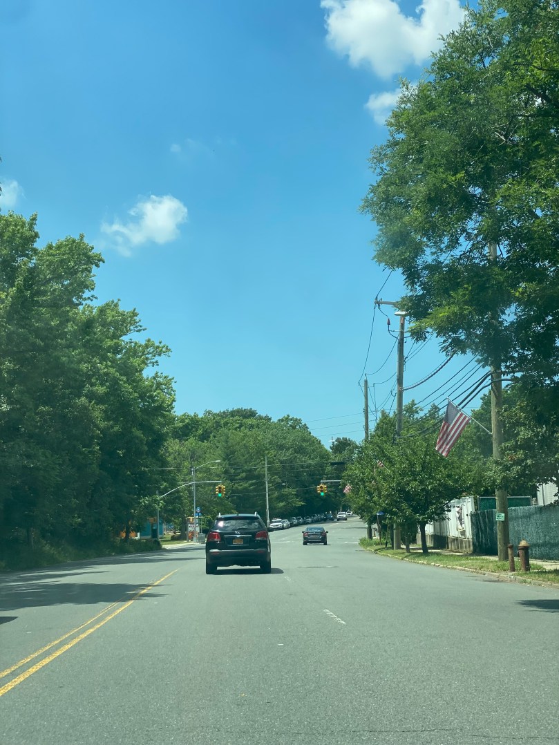
Hylan Blvd in the Tottenville section of Staten Island

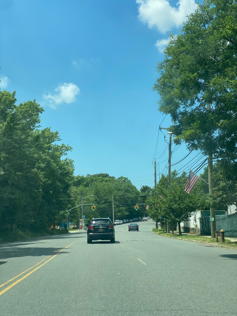
Hylan Blvd near Joline Avenue and the Tottenville Pool

Sign indicating speed limit of 30 on Hylan Blvd/Manhattan St
In addition to these major corridor-wide changes, the NYCDOT also plans to alter the intersection of Hylan Blvd and Page Ave. On the east end of the intersection of Hylan Blvd and Page Avenue, the DOT plans to convert one lane into a right turn bay and another into a thru-only lane and add a floating southbound bike lane in between the two thur-only lane and right turn bay. 5 parking spaces would be removed from the northwest corner of the intersection to assist with the bus merge.

Existing conditions at Hylan Blvd/Page Ave. Proposed conditions could be found here: https://www1.nyc.gov/html/dot/downloads/pdf/hylan-blvd-street-improvement-project-jun2022.pdf (page 11)
‘
However, many drivers including City Councilman Joe Borelli who represents the community where the road diet is proposed are concerned that the bike lanes and even the road diet in its entirety will create congestion and take parking spaces for cars due to the subtraction of a traffic lane. In addition, it may be an inconvenience to residents to have a bike lane outside their homes as they would not be able to park their vehicles should they not have a driveway or have more than one vehicle. According to data from the NYC Department of City Planning(DCP), Staten Island Community District 3 where Hylan Blvd is located averages 1.75 cars per household, compared to the Staten Island average of 1.49 and the NYC average of 0.63, indicating a need for vehicular parking outside of residences. Tom Wrobleski wrote in an opinion piece for the Staten Island Advance, “Remember, this isn’t being done only to help cyclists. It’s being done to slow down motorists, and on one of the few stretches of roadway on Staten Island where we’re not subject to grinding traffic.” Councilman Borelli has also pronounced himself as “100 percent opposed” to the road diet.
It will be interesting to see how and if the road diet plays out due to all of its possible pros and cons, hopefully, a plan is worked out that all parties can come to a compromise on.
Acknowledgements
Kuntzman, Gersh. “City Will Rein in Speeding Staten Islanders with Hylan Boulevard ‘Road Diet.’” Streetsblog NYC, 16 June 2022, https://nyc.streetsblog.org/2022/06/16/city-will-rein-in-speeding-staten-islanders-with-hylan-boulevard-road-diet/. Accessed 4 July 2022.
New York City Department of City Planning. “Car Ownership in NYC.” Tableau, 26 September 2019, https://public.tableau.com/app/profile/dcptransportation/viz/ACSProfiles/Dashboard1. Accessed 16 January 2023.